Day 11: 19 August 2013: Part 4: Chusul to Tangtse

Having been denied the route to Tso Moriri via Tsaga La or Mitpal Tso, we proceed towards Tangtse via the Harong / Erath route as advised by the ITBP personnel manning the gates at Chusul. We notice the road going to left and ascending towards Mitpal Tso.. looks similar to the Wari La route! Alas we couldn’t take that!! The time reads 1220 hrs.

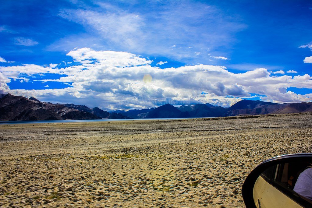
Fortunately, the road that we’re on is fully tarred and there is literally no traffic.

11.160


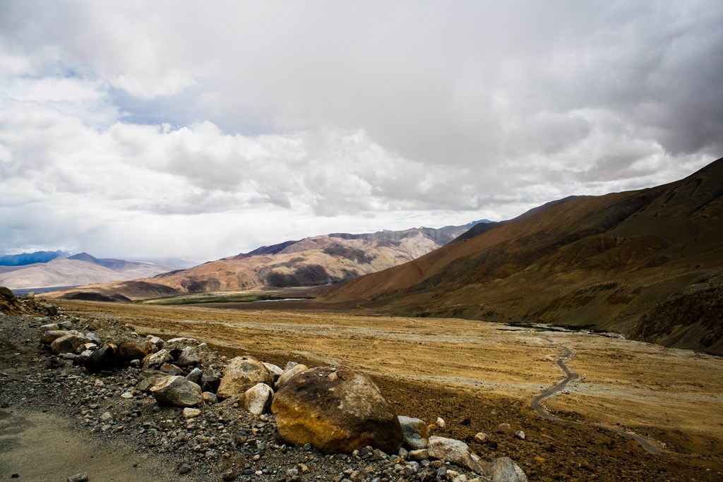
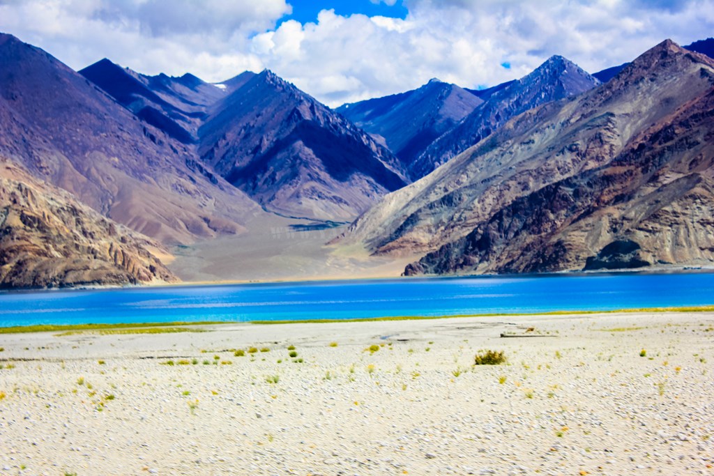
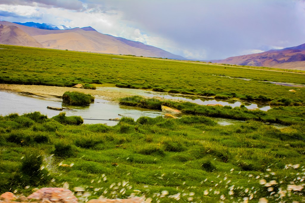
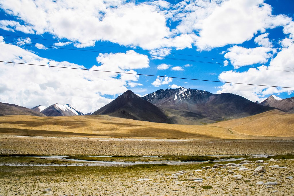
And the views are great too!

11.161
11.162
11.163


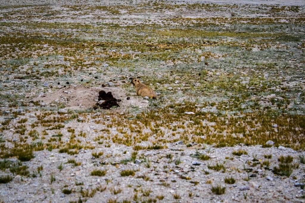
We are greeted by some marmots..
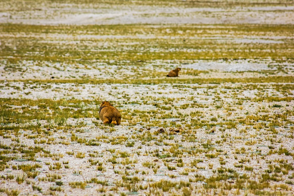
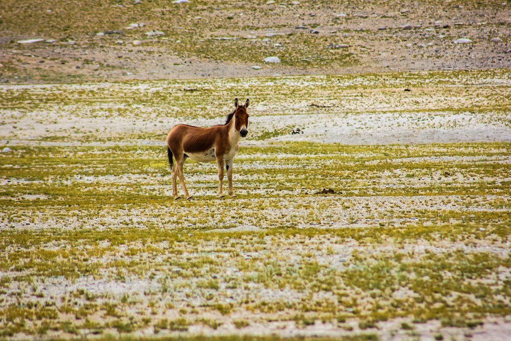
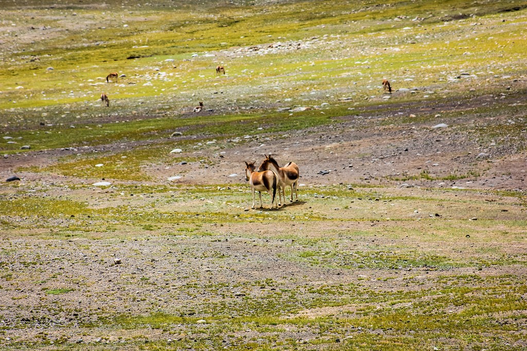
11.164
11.165
11.166


And Kiangs…

11.167
11.168
11.169


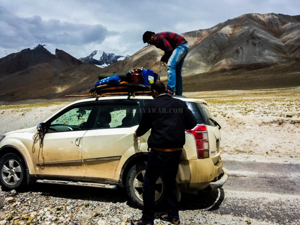
Going just ahead, we notice that the carrier is sliding towards the front and has resulting in spilling of the diesel all over the car. Remember I found out the screws missing and Cheena assured that everything was fine! That was at Lukung and the jerks that the car got while negotiating to Chusul did it’s bit.

So? We pull out the ropes we had and tie down the carrier to the rear bull bar so that it won’t slide to the front. To ease out the load on the carrier, we take down the extra fuel that we were carrying on the carrier and fill the car tanks. It took just over 20 litres. One plastic container is empty now. Everyone says that we should throw away the container, but I’m not in favour of spoiling the valley by throwing away plastic waste. Keeping them inside means dealing with the smell of diesel and then there is no room as well. In the debate, I win and we keep the containers at the co-passenger’s leg space. It does means inconvenience to Avi as he’ll have to sit folding his legs, but it would be better than polluting the valley.

11.170
11.171
11.172
11.173
11.174


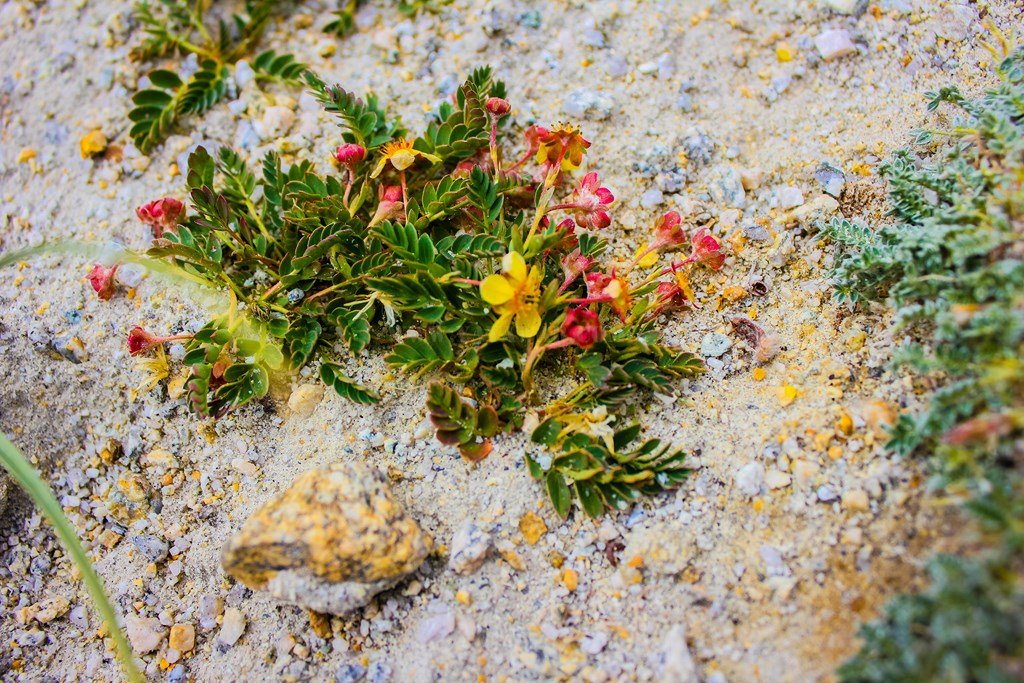
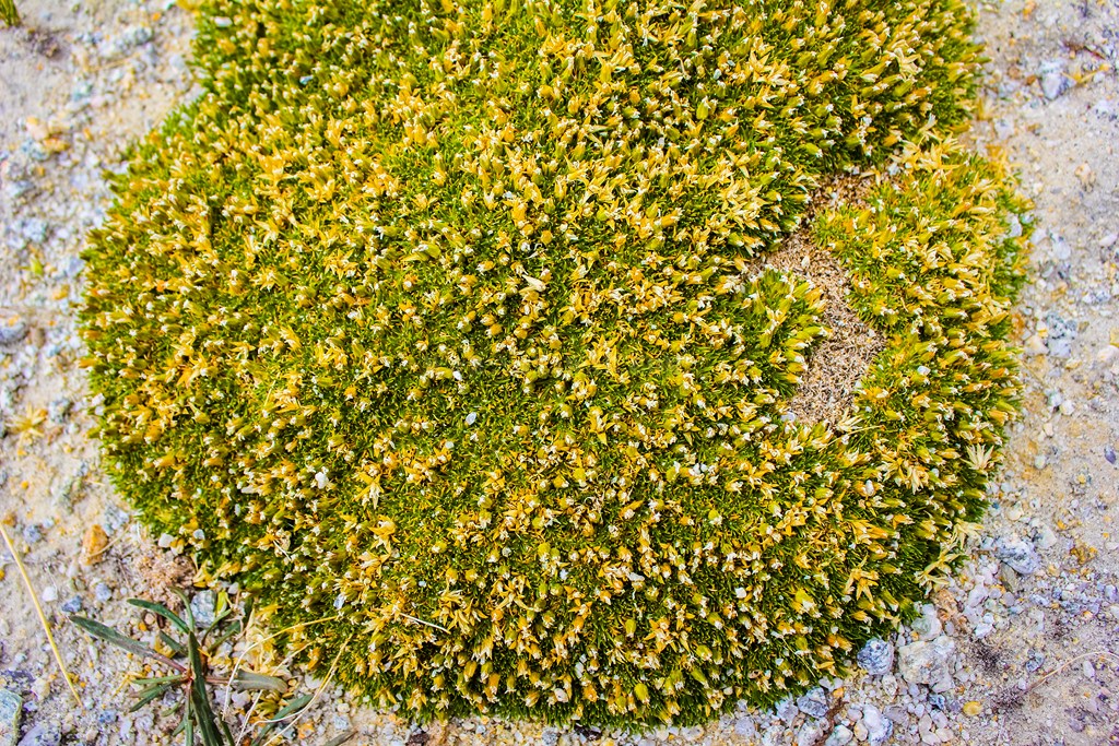
In the meantime, I click some macros…

11.175
11.176
11.177


Finished with the job, we wash our hands in the stream passing along side the road…

11.178


And hop on again..

11.179
11.180
11.181


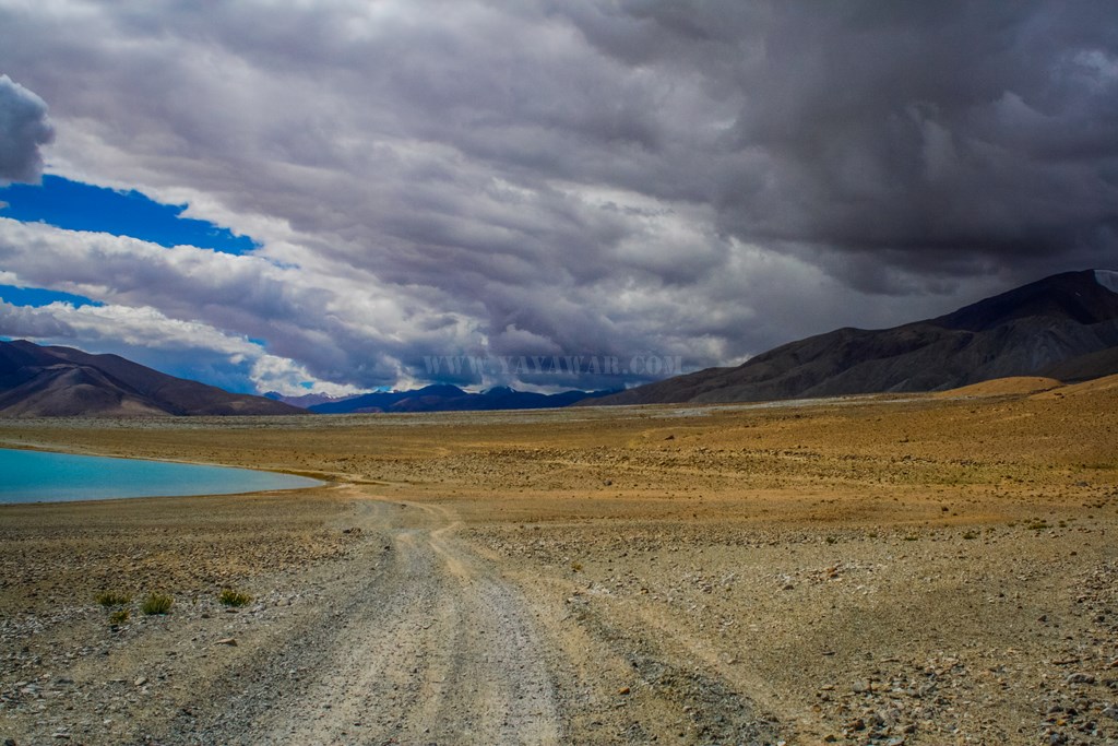
Tangtse is still 55 kms..

11.182


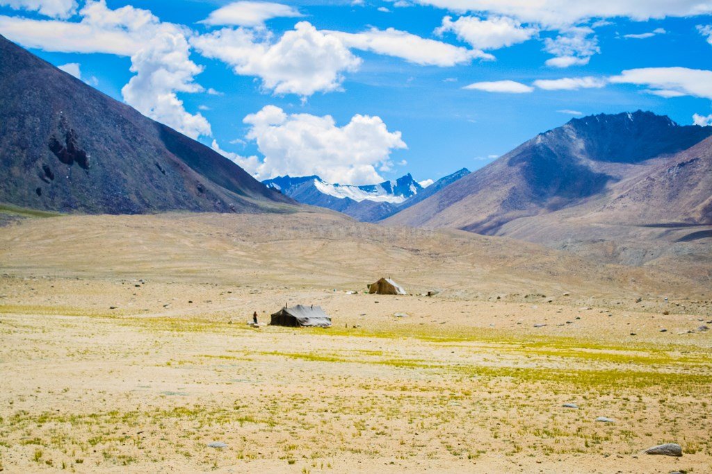
We see some Changpas camping. They’ve also come out of age and now using commercially available tent in place of the original rock structures…

11.183


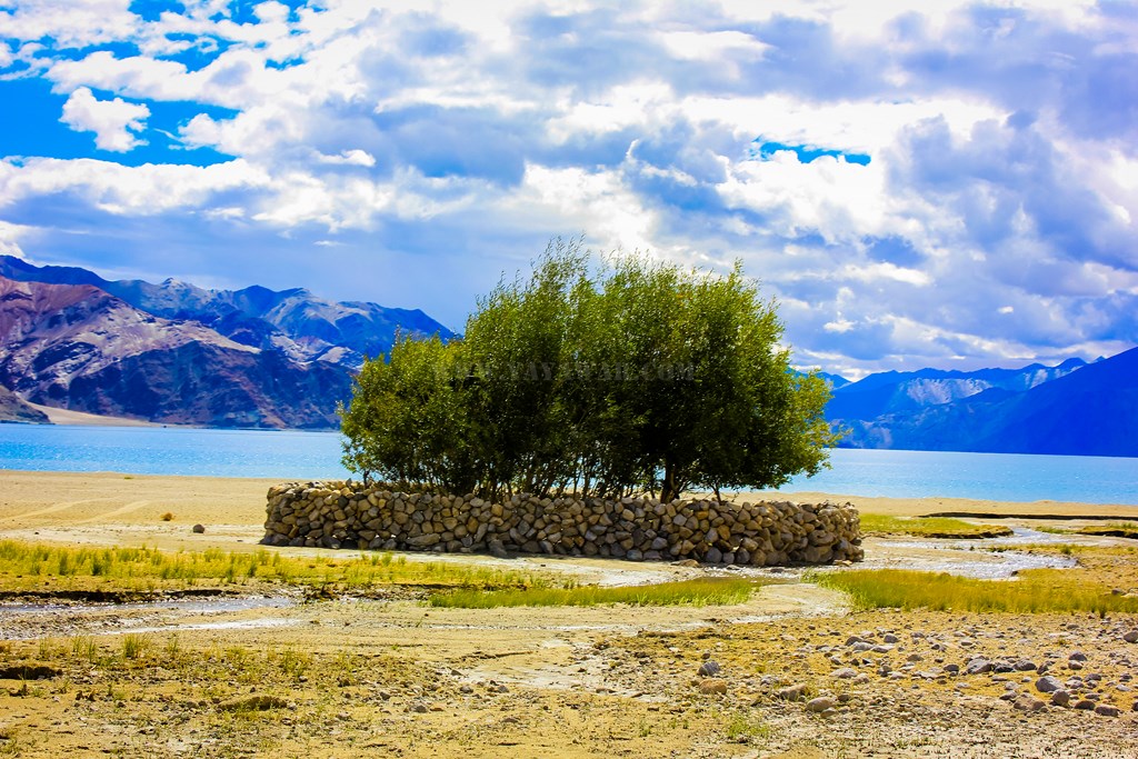
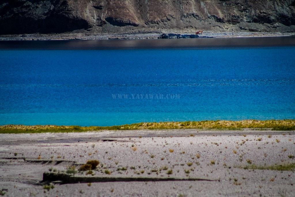
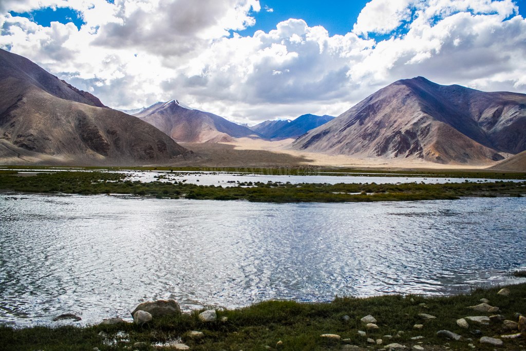
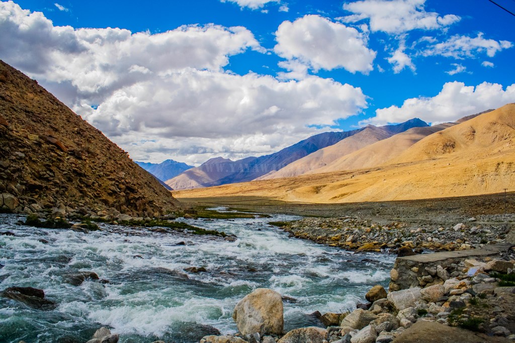
The views are worth absorbing through the eyes.. ice-capped barren peaks on one side, a rivulet and marshland on the other, and a road in the midst! Harong wetlands must be near…

11.184
11.185
11.186

However, the disaster strikes again!

This time, the carrier is sliding to the rear and forth, to a point where it can come out by itself and damage the car too. What shall we do now?

The only option is to take down the carrier and everything on it has to be put in the car itself. But it’s already packed and there is no space.. literally. Plus what do we do with the carrier? Finally, having no other option, we decide to take down the carrier and leave it by the side of the road. Adjusting the luggage on the carrier (spare tyre, gas, tents, sleeping bags etc) means that we can’t carry the diesel containers. And then we decide to leave the containers too. We fill the tank to the brim, fill some cola bottles with the diesel, but still have over 15 litres of diesel in one can.

11.187


Although I genuinely didn’t wanted to do this, we had no other way.. So, we take down the carrier, put the diesel containers, wrap the trampoline and tie it down with the ropes and place it gently besides the road so that it is visible to people passing by. Perhaps someone can find some use for it. 🙁

11.188
11.189
11.190
11.191


Feeling too bad to do this, I also write a sorry note and place it securely.

11.192


The lathi (staff) that we were carrying won’t fit in the car, so have to leave it too. But at least it is organic and bio-degradable, and fortunately, we’ve not yet reached Harong wetlands. So Tony leaves a memento…

11.193


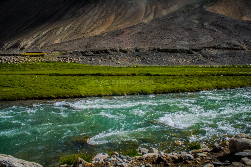
Feeling bad, we proceed ahead. It’s already 1520 and we’re getting late.. The marshy area is growing bigger and the rivulet is growing bigger.. we’ve reached Harong wetlands…

11.194
11.195


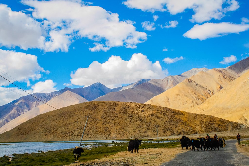
We come across herds of sheep and yaks grazing in on Harong…

11.196
11.197
11.198
11.199


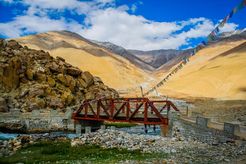
Passing by Harong, we cross a bridge and by now, the rivulet has taken the shape of a proper river…

11.200
11.201
11.202


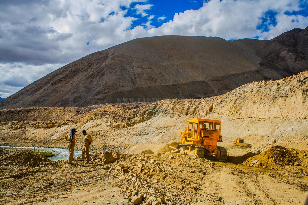
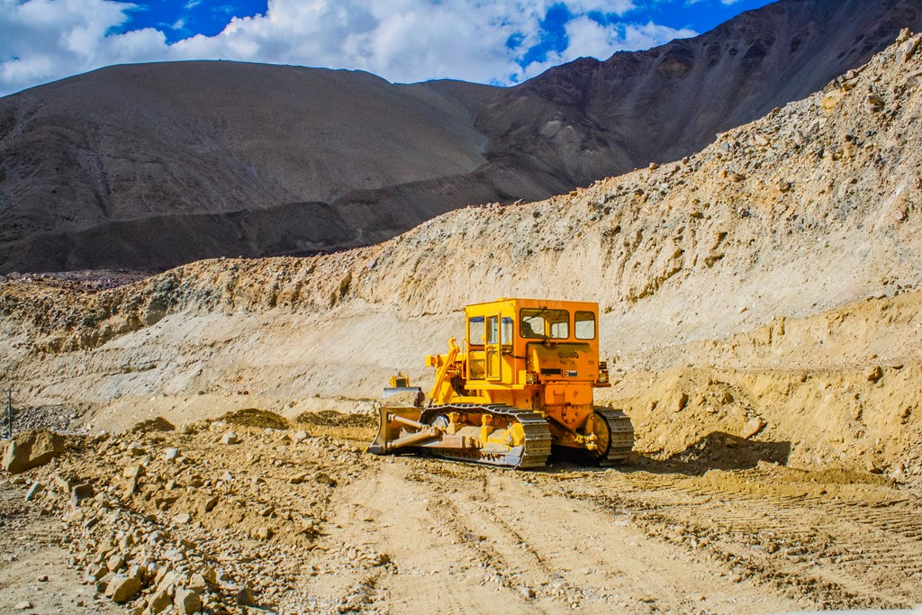
BRO is working on the road, but since there is no other vehicle on the road except for the two dozers and our car, they let us go in a couple of minutes. This is Erath…

11.203
11.204


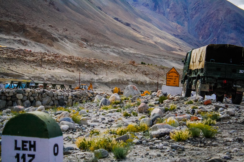
Finally around 1645, we reach Tangtse. Overall, it has taken us 4 hours 20 minutes to complete the stretch. Hadn’t we faced issues with the carrier, we could have reached at least 2 hours earlier.

11.205


Next: Tangtse to Upshi

CONTD…

Total Distance covered: Approx 85.7 kms

Driving Directions from Chusul to Tangtse via Harong: From the Chusul ITBP gate, drive straight for approx 85 kms to pass by Harong wetlands, Erath and Chilam. Shortly ahead, the road from Lukung will also join. Further ahead from the fork point, take the left fork to arrive at the Tangtse checkpoint.

Google Map directions for Merak to Chusul travel: http://goo.gl/maps/rxAHO

Day 11: 19 August 2013: Part 3: Merak to Chusul

After finishing the formalities at the Merak checkpost, we proceed ahead towards Chusul. The time reads 0945…

Many streams from nearby glaciers are coming and merging into Pangong creating a wetland sort of…

11.125


And yes, there are still no roads, just tracks and that too has detoriated further.. pebbles have given way to rocks…

11.126


The terrain is tough and sometimes takes it’s toll on the vehicles passing. One such evidence when the toll was collected from Government of India! 😀

11.127


And the terrain continues along with the Pangong

11.128


And then we come across a roundabout on our way to Chusul, though there is no one crossing the road except for a glacial melt stream..

11.129
11.130


The setting is awesome! Snow clad mountains, barren landscape with bits of oasis spread around, and of course the Pangong running along.

11.131


We come across another settlement, perhaps the last one before we reach Chusul – Khaktat/Kakstet it is!

11.132


The clouds are hovering again, and we continue our drive..,

11.133


There is some work going on the Chinese side, perhaps they’re building a metalled road…

11.134


The Pangong is exhibiting variant colours at the same time…

11.135


And the lake appears to be turning to the left, into China perhaps… We have to keep right now, lest we want free Chinese food for life 😉

11.136


The mountains are towering on the right, snow clad and displaying varied colours…

11.137


And then we spot a native – the Kiang or the Ladakhi wild ass

11.138


And wild horses in droves…

11.139


I click some wild flowers while Cheena is driving..

11.140


And now the Pangong finally takes a turn to venture into China. Perhaps this is the last view of Pangong that we would be able to see…

11.141


As we go right, we meet some more horses. They appear to be wild, but then we notice bells tied to their neck. But the owner is nowhere to be seen.

11.142
11.143


All the while, we are gradually ascending after Kakstet which wasn’t too evident, but now the ascent is evident..

11.144


After ascending a bit, we come across a flat chorten (or is it a memorial?) with lots of stones carved with the Buddhist Mantra – “Om Mane Padme Hum”. We get down to click pics from close..

11.145


This is when we turn back and realise that this would be the last view of Pangong on the way to Chusul.

11.146
11.147


And so we get ourselves clicked – the “I was here too” pic 😀

11.148


I take this opportunity to click some macros, while Avi clicks me in the act!

11.149


The result:

11.150


Driving ahead, we find a plateau area and then ascend again. What we see appears to be a pass, marked by prayer flags. Strangely enough, it is not just the rocks that mark this pass… and there is no marker or the name given to this pass (Had known about a pass marked with horns called Polakang La, but that is on other route! Later learnt that People call it various names including Chusul La)

11.151


This pass mark is chiefly comprised of horns – perhaps Yak horns!

11.152


Shortly ahead, a board announces the area ahead as breeding ground for migratory birds, and the wetlands start…

11.153


And I click yet another carcass…

11.154


The wetland is vast with multiple streams running in…

11.155


And then the village boundary appears.. the mountain besides the village has a huge ITBP motif painted on it.

11.156


And finally we see remains of a metalled road. We’re quite happy to come out of the dirt track marking the path all the while from Spangmik to Chusul!

11.157


We pass by houses and click some kids happily waving towards us…

11.158


And also pass by a Jat Memorial.. perhaps Army had a presence here sometime..

11.159


As we enter the village and drive towards the checkpost, a couple of people wave us to stop. One of them asks for our ILP and on enquiring he says that since people rarely come to this route, he has locked the checkpost and going to his home for lunch. He keeps a copy of the ILP, but says perhaps we will not be allowed to go further by ITBP. What the hell? We have the permits for both Tsaga La and Mitpal Tso routes and he’s not stopping us. We’ll pass by. Our plan is to take the Mitpal Tso route to Tso Moriri, which is barely 100 kms from here and we shall be able to reach Korzok by the evening as the time reads 1245 hrs.

We drive ahead where there appears to be a gate, with a sentry post and some ITBP personnels manning it. The road to Tsaga La goes to left, without entering the gate. The road to Mitpal Tso appears to be going via the gate and so we’re confused as there are army trucks parked just after the gate and we think that we should not be entering sensitive area without permission. So we stop the car and go to the person to enquire the way to Mitpal Tso.

The person is a Sikh and shows us the road going through the gate, but says we can’t take the road. Says that they have strict instructions not to allow anyone on either the Tsaga La or Mitpal Tso route and that we have to go back! Not sure whether he cooked up a story, but said that yesterday, they had allowed a family on a SUV to take the Mitpal Tso route and they had three tyre bursts on the way and eventually they had to be brought back and hence they’re not allowing. And of course taking Tsaga La is out of questions. I reason with him that we’ve got the ILPs and shall be permitted, but he says that his CO has ordered him so and only he himself can revert his orders. I ask him if we can visit the Rezang La War Memorial at Chusul – the memorial built in memory of Major Shaitan Singh, Param Vir Chakra winner (posthumously). In the meantime, couple of more personnel join the conversation. They say that it is quite unfortunate, but we’ll not be allowed to pay our homage, unless the CO approves of it. They agree that this is not as it should be, but they’re bound by orders.

I ask them to let me talk to their CO. They try for couple of times, but the person doesn’t picks up. Now this is too frustrating. We are Indian citizen, we have all the required permits, but still our taking the passage is on the whims and fancies of someone who doesn’t even bothers to pick up the call placed by his own battalion! We talk to the personnels manning the place and explain that it has taken us hell lot of time to traverse all the way from Spangmik to Chusul and going back the same way would mean that we loose the entire day thus shattering our travel plan. He then says that we can take the route going from the gate, but not taking a left turn towards Mitpal Tso and that would take us to Tangtse via Erath, and that this is a metalled road. Seeing us frustrated, he says that if we wish, we can go till the Rezang La War Memorial, but will have to return after paying our homage. I ask them if anyone of them can accompany us as we don’t know the way and don’t want to be stopped and procecuted is someone else meets us, but they’re not free.

Not willing to take any chance, we decide to give it a pass and go towards Tangtse. The time reads 1220 hrs…

(Later on, after returning from the trip, I learnt that there was an alternate route within the Chusul village which would have alleviated the encounter with the ITBP personnels, thereby maybe creating a possibility of taking the desired route. Bad luck!!!)

Next: Chusul to Tangtse

CONTD…

Total Distance covered: Approx 26.5 kms

Driving Directions from Merak to Chusul: From Merak, follow the dirt track on sand and gravel following the Pangong shore and tyre marks left by other vehicles to arrive at Kakstet which is marked by a roundabout (photo above). From Kakstet, keep on the dirt track and when the Pangong appears to be turning left, follow the tyre marks to keep yourselves towards right, leaving the Pangong. Further on, there are sevaral tracks which all reach to the same marshlands before Chusul, just ensure that you’re not venturing too left. After the marshlands, metalled road starts after crossing a bridge and you take a right turn to enter Chusul village.

Google Map directions for Merak to Chusul travel: https://goo.gl/maps/dijIR

Day 10: 18 August 2013: Part 5: The Pangong Tso in it’s full glory!

Little do I need to say about this majestic 134km long saline lake named Pangong Tso (Bangong in Chinese) which extends from India to Tibet and is about 5km wide at the broadest point. The Pangong Tso changes colour at different points of time during the day and the marshlands around the lake is home to many birds including some migratory species. (more…)