

Day 8 : 16 August 2013 : Part 2 – Khardung La Top to Hunder
We start our decent from the Khardung La Top and we see that the BRO are on the job, even in snow and rain. The weather is all cloudy…

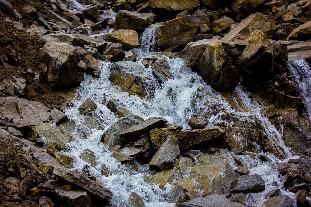
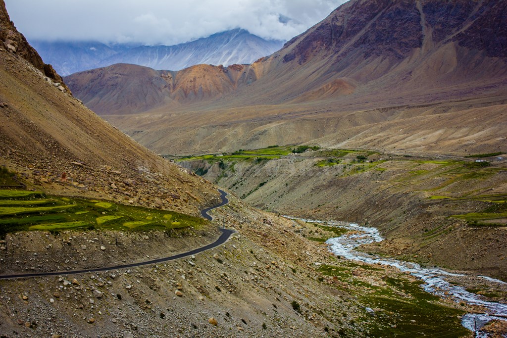
We move ahead on serpentine, crossing many small streams..
And some unfortunate ones….

We see a beautiful scene ahead – a small temple on a small island formed due to various streams flowing. Calls for a photo-op!


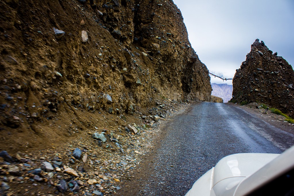
The tarmac has returned..

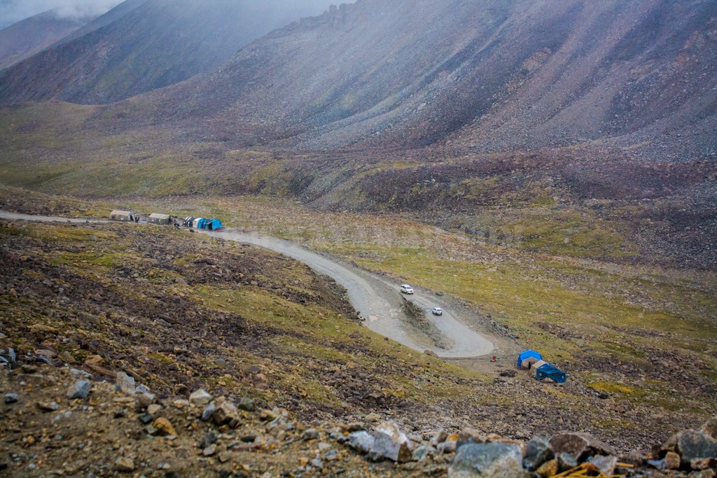
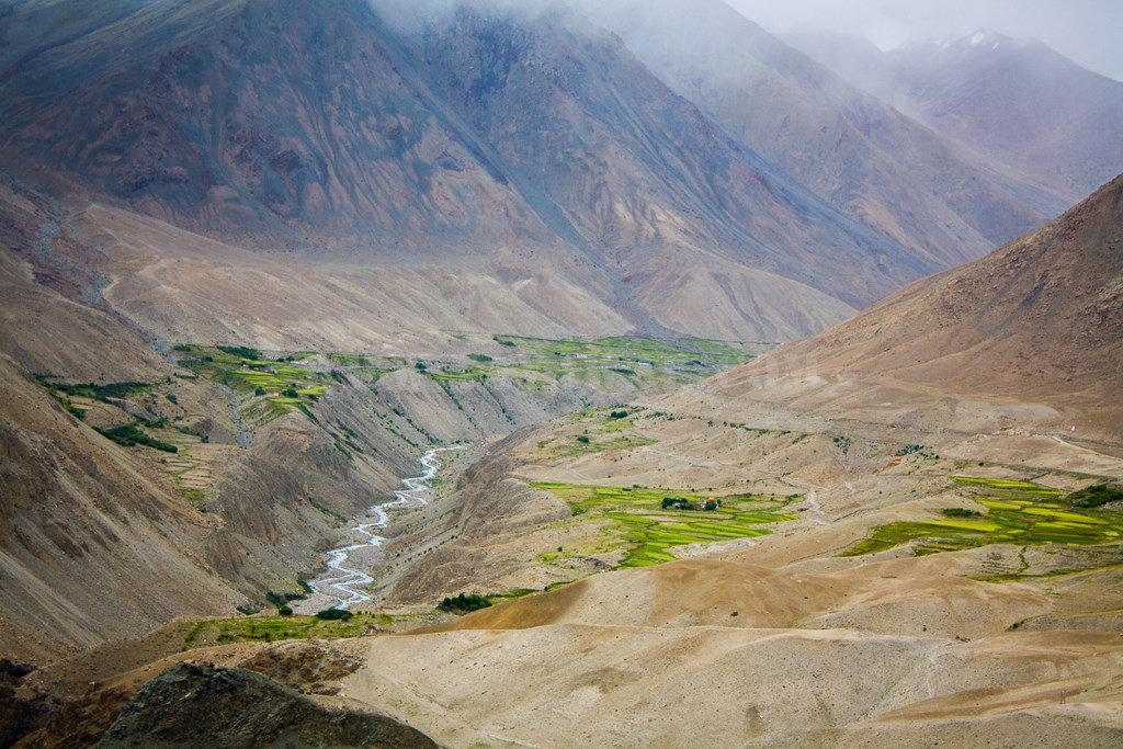
And at a distance below, we can see some settlement.. got to be North Pullu.

North Pullu indeed it is and the watch reads 1140 hrs. Time for some stomach-stuffing, but before that let’s get our permits submitted.


And now what? Maggi? Bread-Omelette? Tea? We’ll have all! Bring it on!!!


And by the way, who is this Tau jee? Ummm.. Sorry! What is this Tau Jee?? 🙂

In the meantime, a Lama is impressed by the Cheetah.

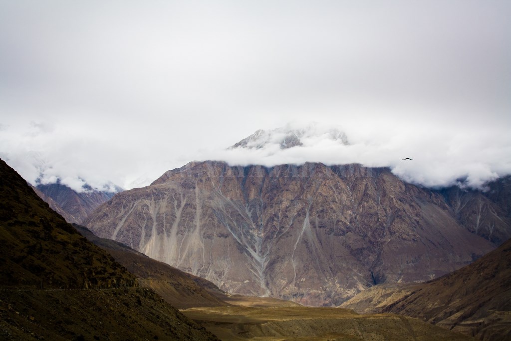
Some pics of snow-peaks at North Pullu…


After spending around 40 minutes at North Pullu, we drive ahead around 1210. A small rivulet is giving company..
Hello! Wonder how I reached here?

Hunder is still 64 kms..

Will be taking that road soon

That’s a bridge and shortcut. Interested? No, the Cheetah can’t go that route!

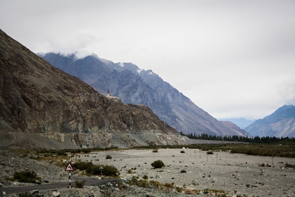
BRO are working, so there has to be a road ahead.

Nallah? What nallah? Do I look filthy?? I flow wherever I wish. Man can’t tame me. It’s my way, not the highway!

And presenting the gateway to Hunder valley
another view

The serpentine, this time the rivulet
Drive carefully or you’ll fly like me
Rivulet alongside road. I’m on a journey, to meet Shyok!
BRO working to lay fresh tarmac. We get all the raw material locally 🙂


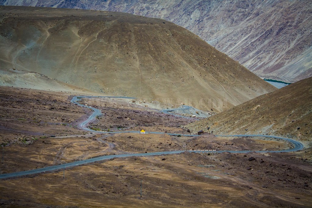
Twists & turns
We have to take left today.. day after tomorrow we’ll take the right fork

The boards says it all..


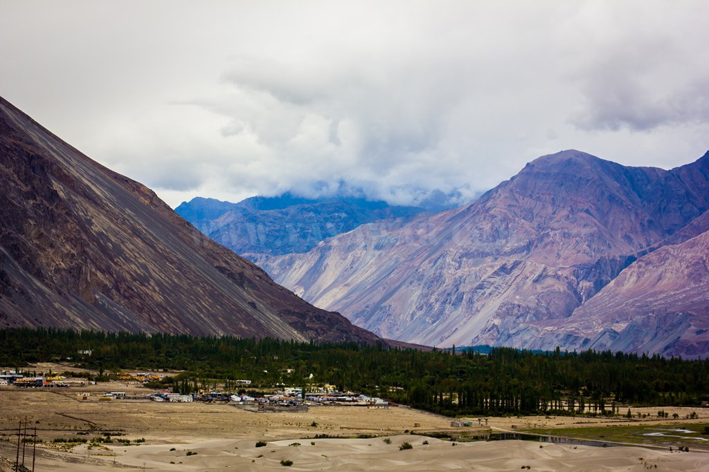
On taking the left road, towering mountains and gushing Shyok river leave you feeling nondescript. The water in Shyok is muddy which means it had rained somewhere.

And then we take left again towards Deskit


Just after a couple of minutes, we find ourselves on a straight road going towards the mountains on the other side. It’s a river bed!!!

Since there is no water, we’re safe.. otherwise we’d have required 007’s convertible car-cum-submarine to cross this. Well, lets take this opportunity for a loo break.
But then we also notice vast expanse of the river bed with sand and pebbles all over. It’s a bit tricky as there is lot of area with slough. Anyways, we’ll take our chances for a photo-op and some masti.


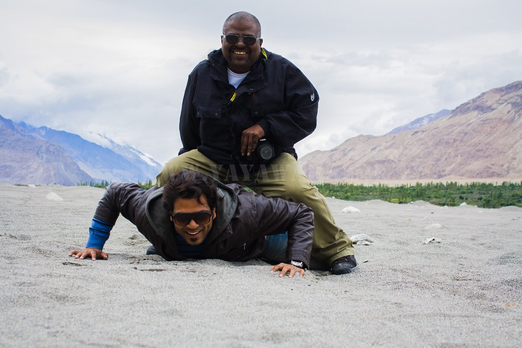
Ok, why not put our group’s name here? Avi, get on the job!

Nah! this is too small. Do something big man!!
Yayawar’s were here

Done! But how do you photograph this as it is huge. No problemo! Tony to rescue!!

Let’s go now.. that’s the way to go!

Mountain with Buddha? Got to be Deskit.
But before we reach, what about the reflections?

Ok! Hunder is 7 kms from Deskit. But I knew this already! We’re not staying here today or visiting the monastery. This is on the plan for tomorrow.

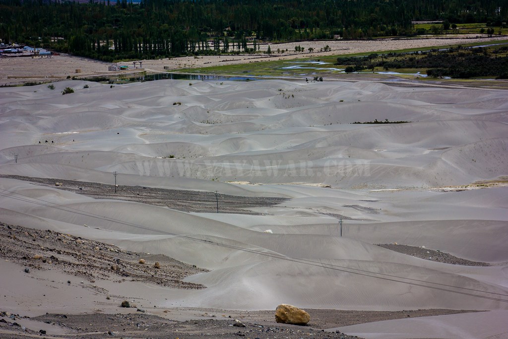
First view of Hunder sand dunes.

More dunes…

Ok guys.. We’ve reached Hunder, but let’s hurry to Turtuk as it is still 77 Kms ahead. It’s already 1510 hrs and will take at least 2.5 hours. Better to reach there during the daylight than drive in dark. Hunder is on our plan for tomorrow in any case. (only if plan remains “the plan”).

Next: Drive from Nubra to Turtuk
CONTD….
Total Distance covered: Approx 85.7 kms
Driving Directions from Khardung La to Hunder: Drive ahead from Khardung La and keep following the road and reach North Pullu checkpost. Drive down further and arrive at Khardung village. Now at Khardung, turn left to remain on the road as the road going to khardung village make it a T-point. Drive further ahead following the road and at the next fork point, take the left fork going downwards to go towards Diskit (the right fork climbs up towards Agham which further bifurcates into Agham-Shyok route and Wari La route). Shortly, the road bifurcates again and take left fork to reach Khalsar (the right fork goes towards Sumur/Panamik). From Khalsar, keep following the road along with Shyok river to your right and drive past Diskit and Hunder view point to arrive at Hunder. From here, the road going left goes to Hunder village and the sand dunes, while taking straight takes to towards Turtuk.


Greetings from Ohio! I’m bored at work so I decided to browse your
website on my iphone during lunch break. I enjoy the information you
present here and can’t wait to take a look when I get home.