

Day 10: 18 August 2013: Part 3: Tangtse to Lukung – The Pangong!
After getting our ILPs checked, we proceed towards our destination for the day – Pangong.
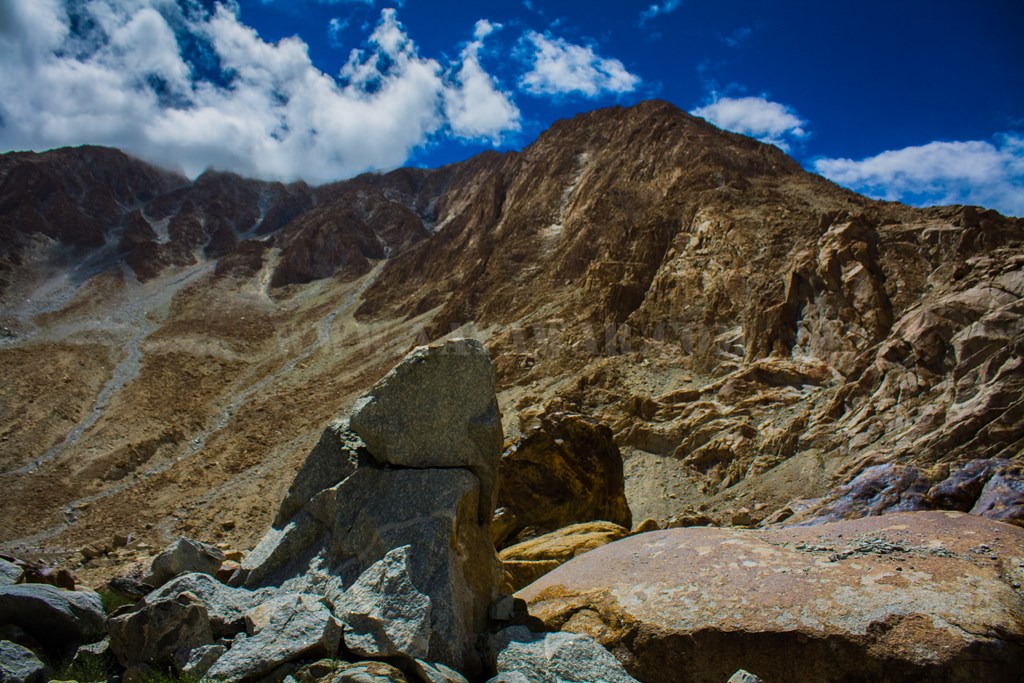
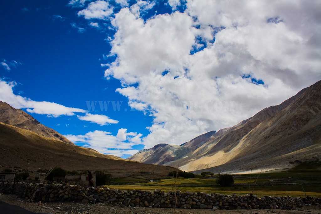
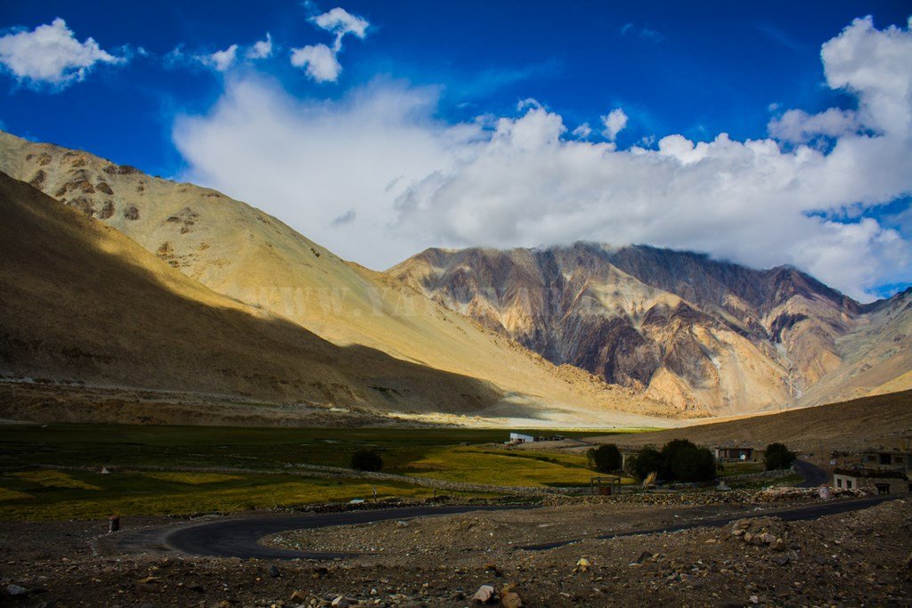
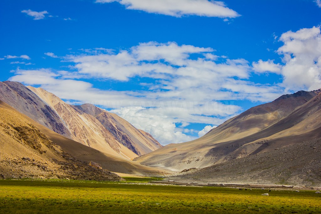
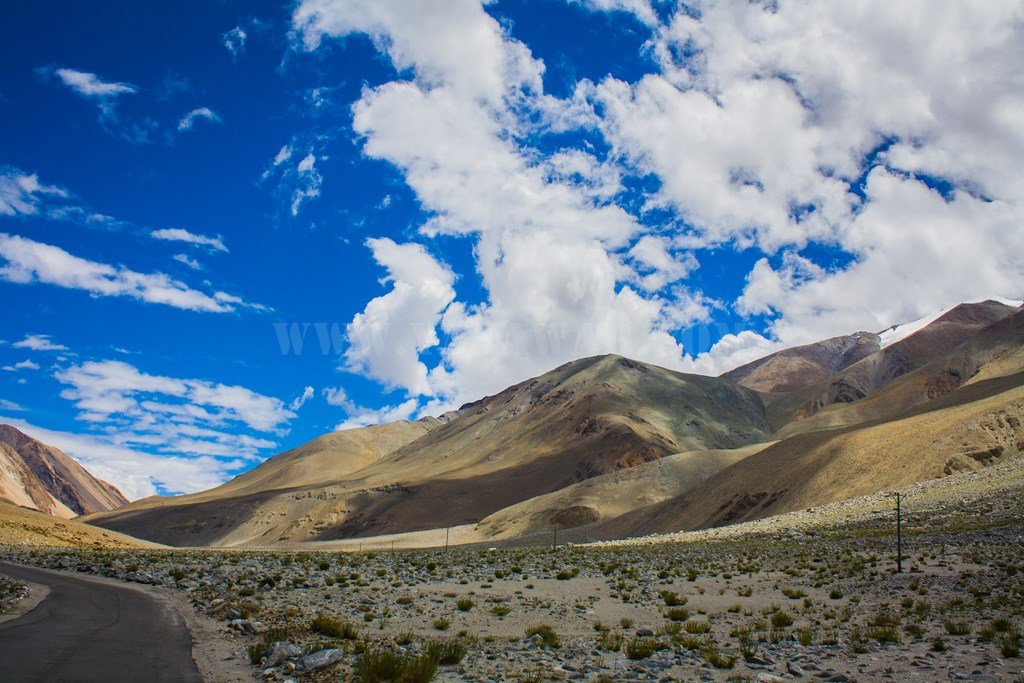
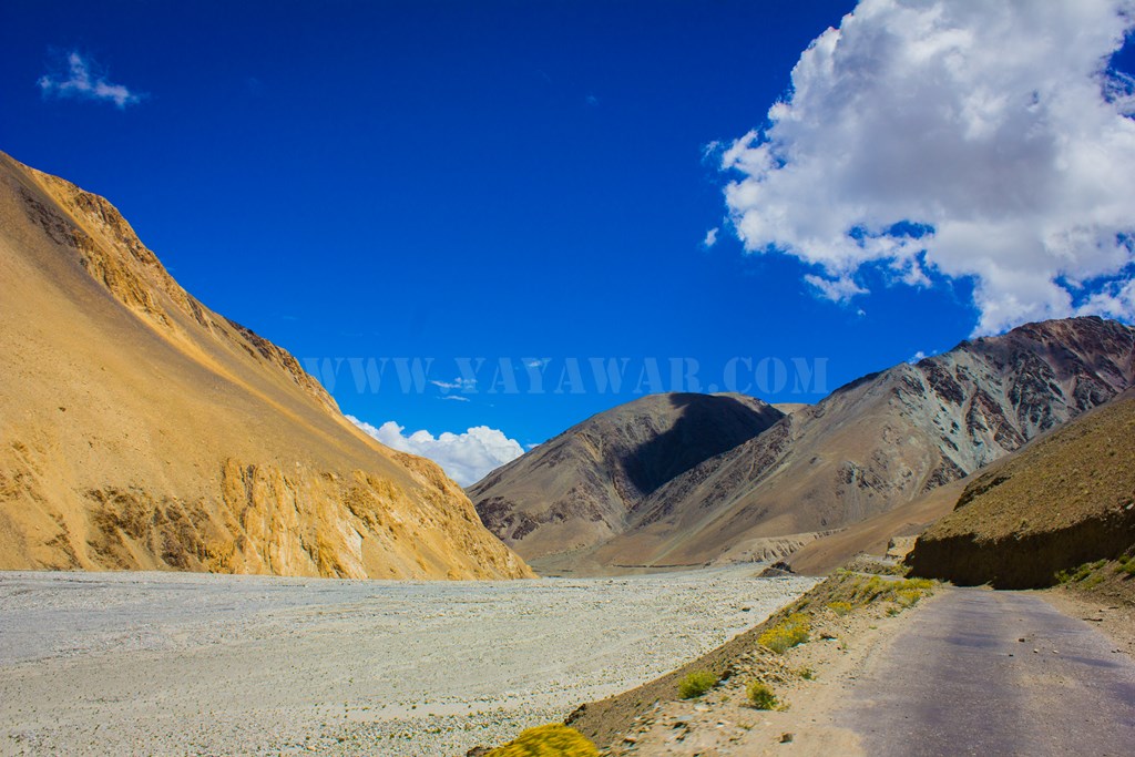
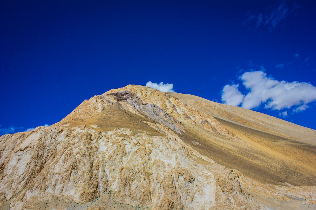
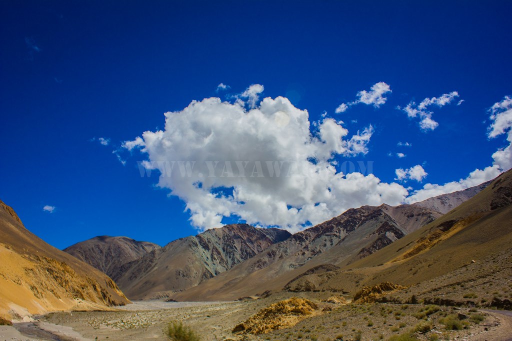
Vistas as we leave Tangtse..

Different shapes and colours…
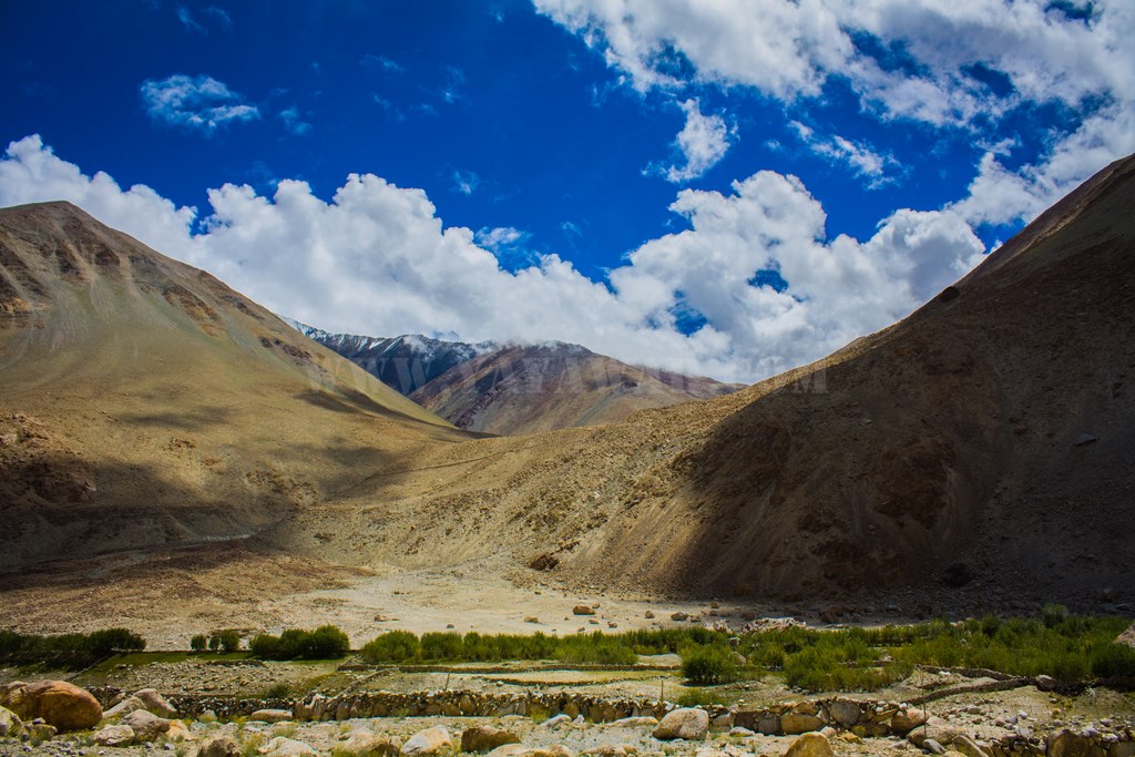
Soon we approach the wetlands with horses and other animals grazing in peace..


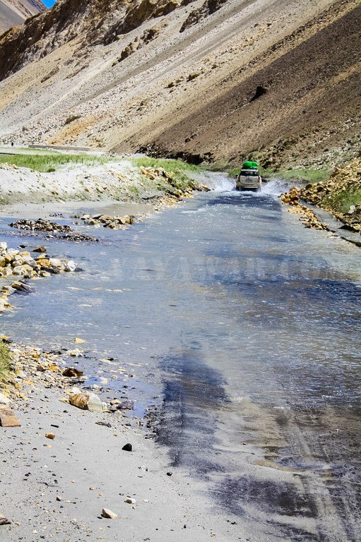
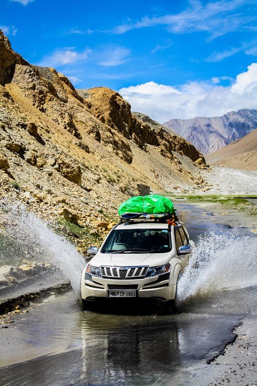
A couple of water crossings..

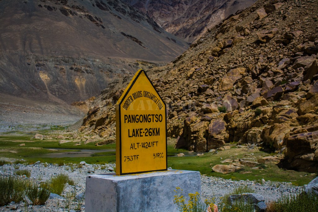
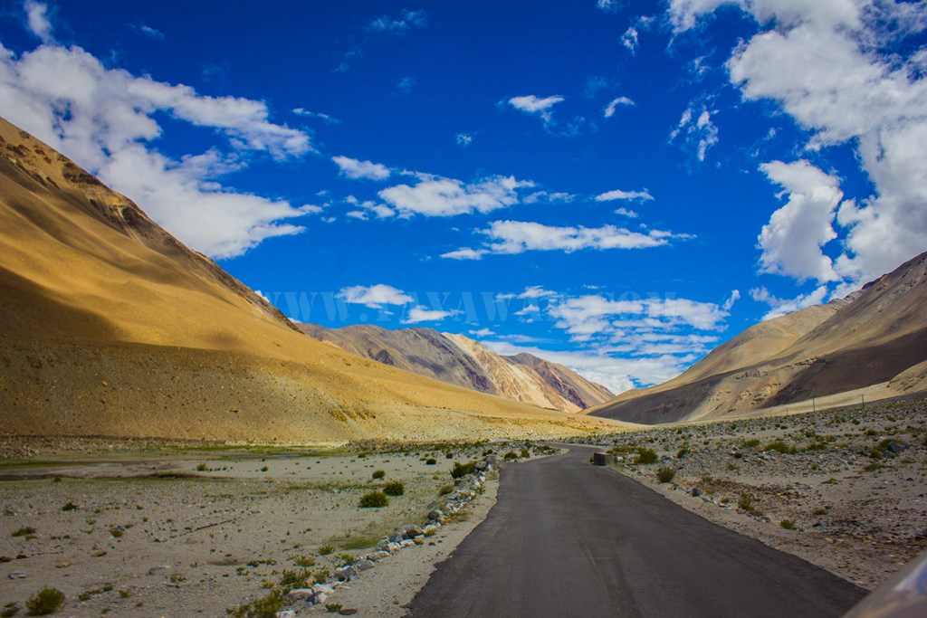
A sign announces Pangong is still 26 kms to go…
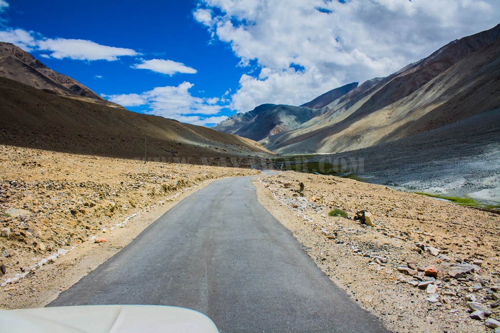
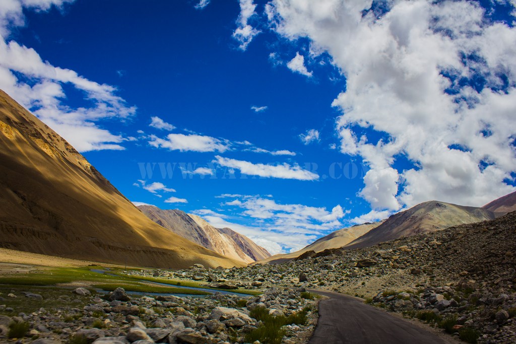
The road is tarred and mountains are towering.. with various shapes…


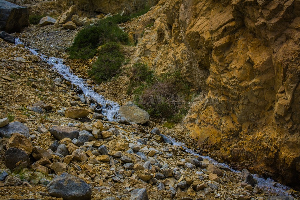
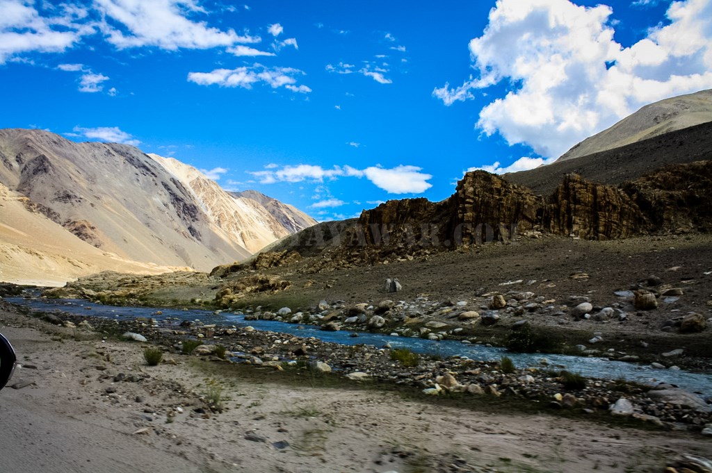
A stream gushes besides the road…
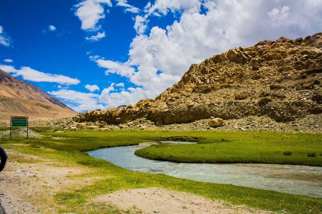
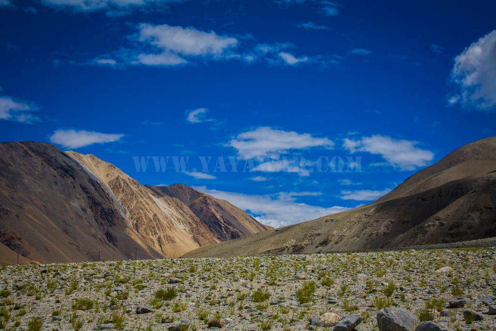
And the wetland continues…


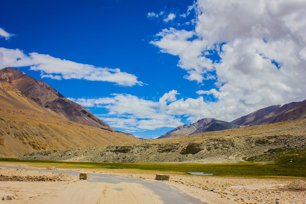
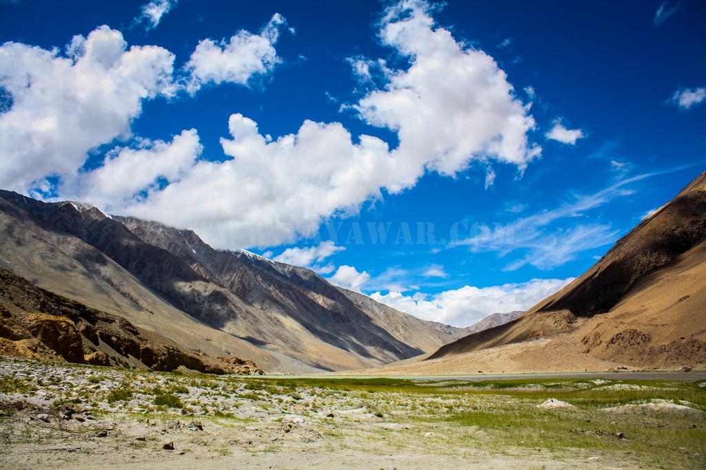
Vistas are breathtaking…

The grasslands are vast and the animals graze in peace.. undeterred by occasional vehicles passing by

Water in various forms.. streams, fall, nullah..

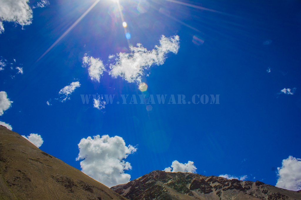
Meanwhile, the cloud and sun start playing painting the landscape in various colours..


10 More kilometers to Lukung. Yay!!

The stream continues with us..
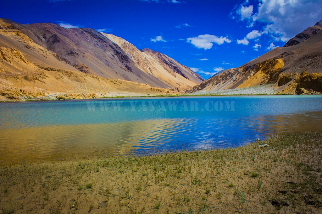
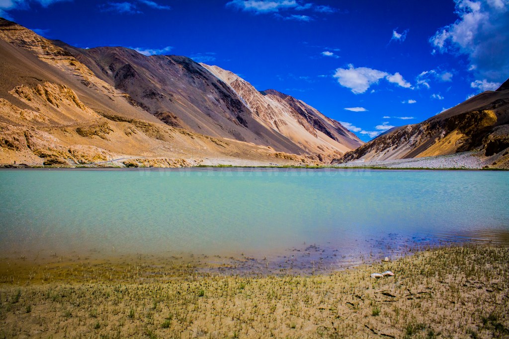
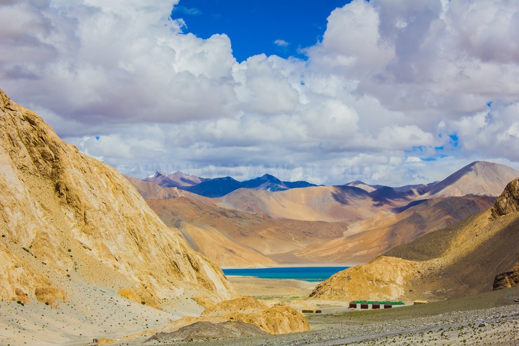
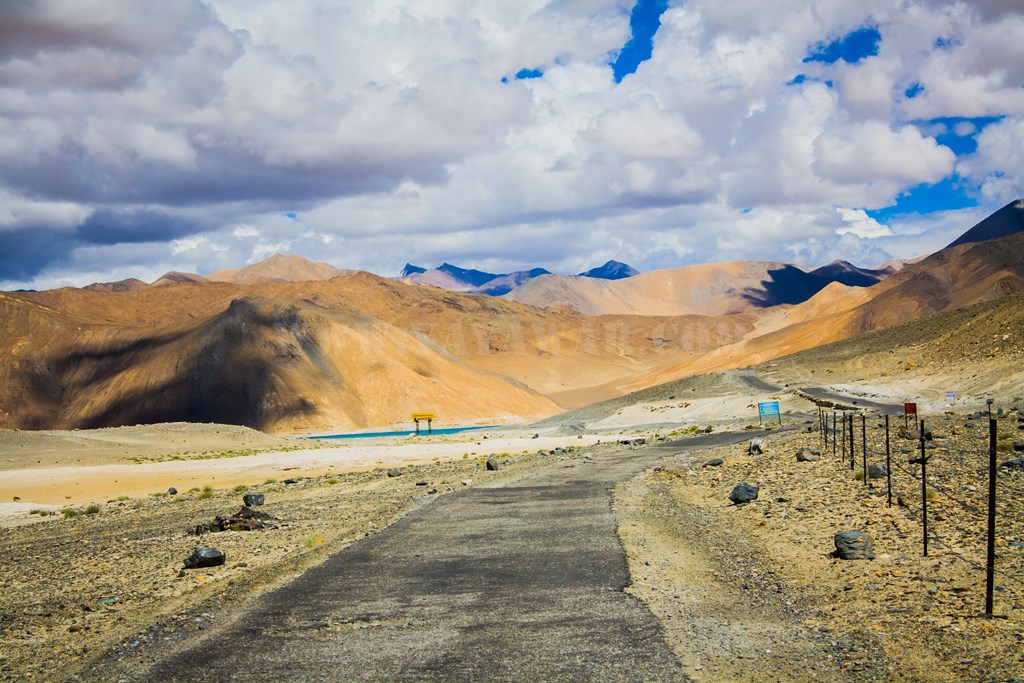
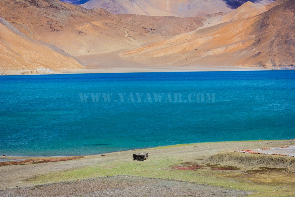
… till we reach a small lake.

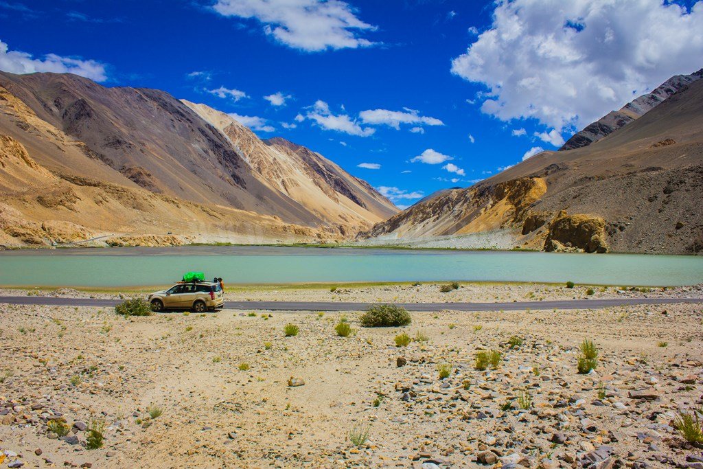
Chagar Tso it is! And so we stop.


We get ourselves clicked 🙂
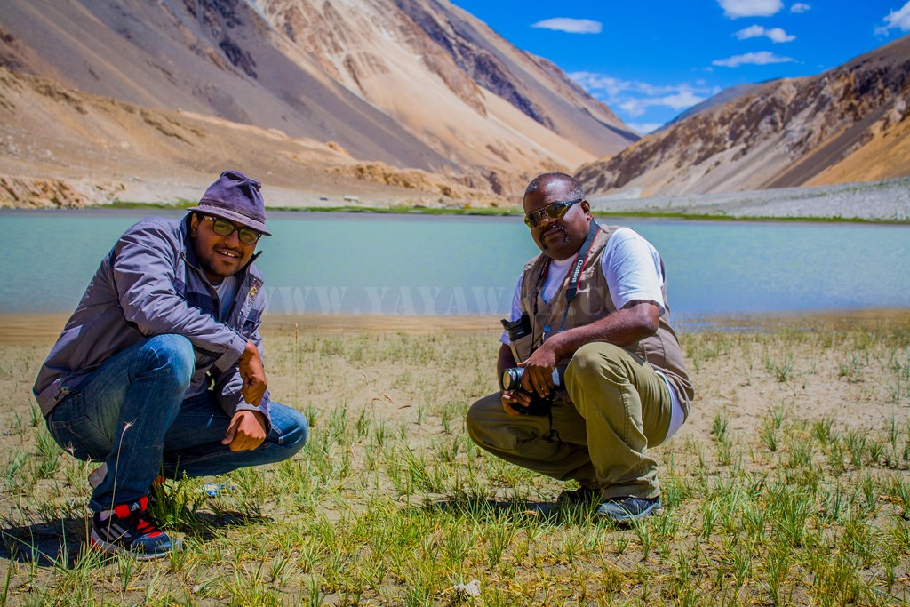
While we soak in the beauty of the lake, we observe many cars just zip by. It’s just besides the road and still no one stops by. Probably every one is in a tearing hurry to reach the famous Pangong Tso. But ain’t it beautiful in it’s own? It is!!

The peaks around are snow-capped

After spending some time, we proceed ahead…

Soon the road is engulfed by mounds of sand. Could there be a river flowing? We see bikes swagging.

And then there is water flowing on the road, so we make a splash.
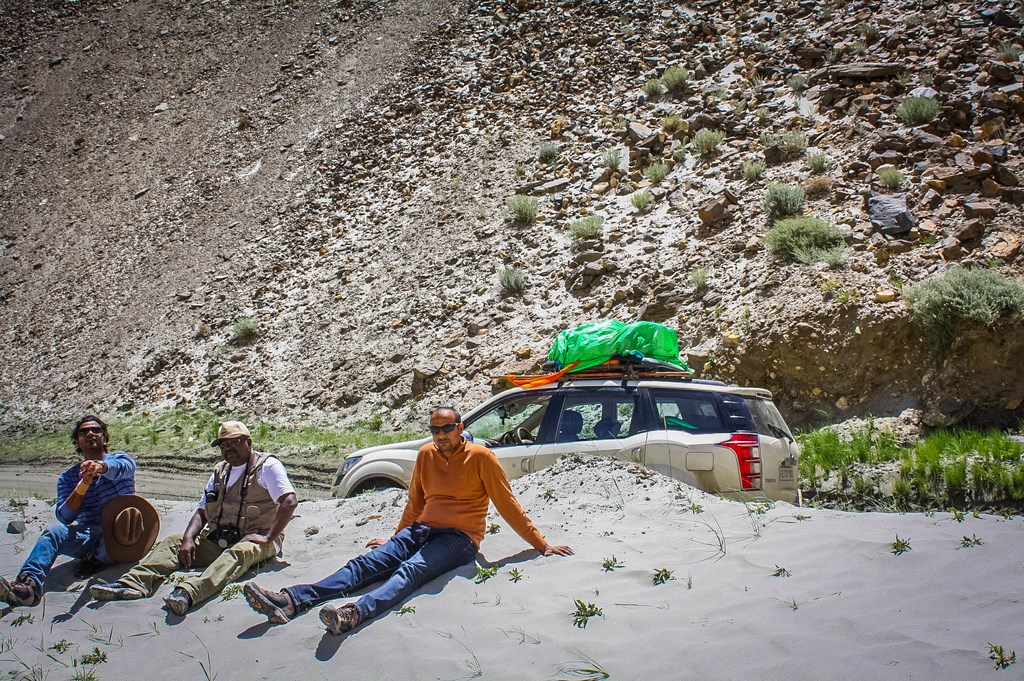
The sand is hot and so we warm our bums…
And then we drive ahead..

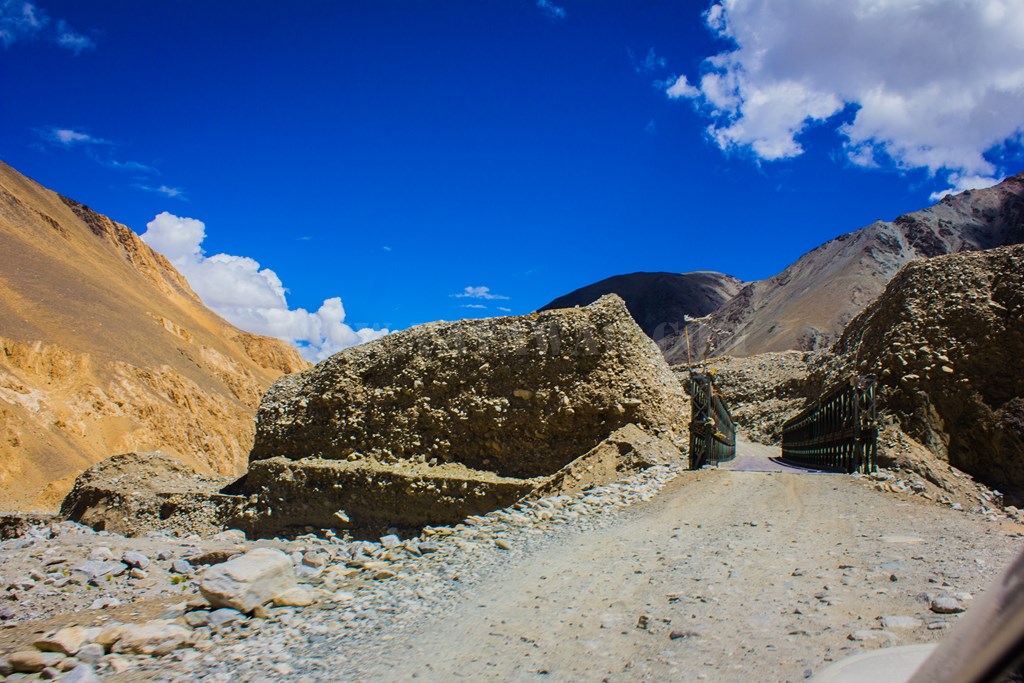
Cross a dilapidated bridge…
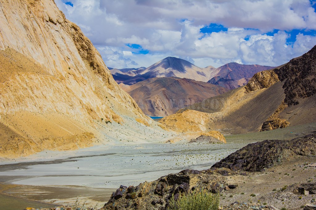
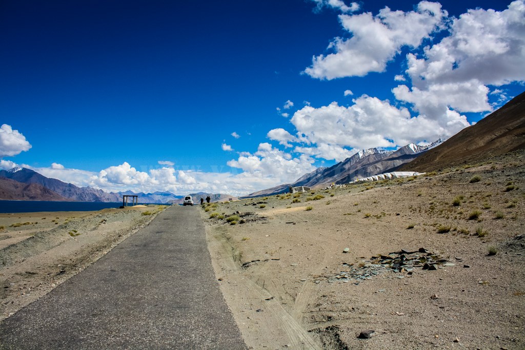
And then we see a tiny blue spot on the horizon. Could it be Pangong?
Hold on! A board says “No pain, No gain”
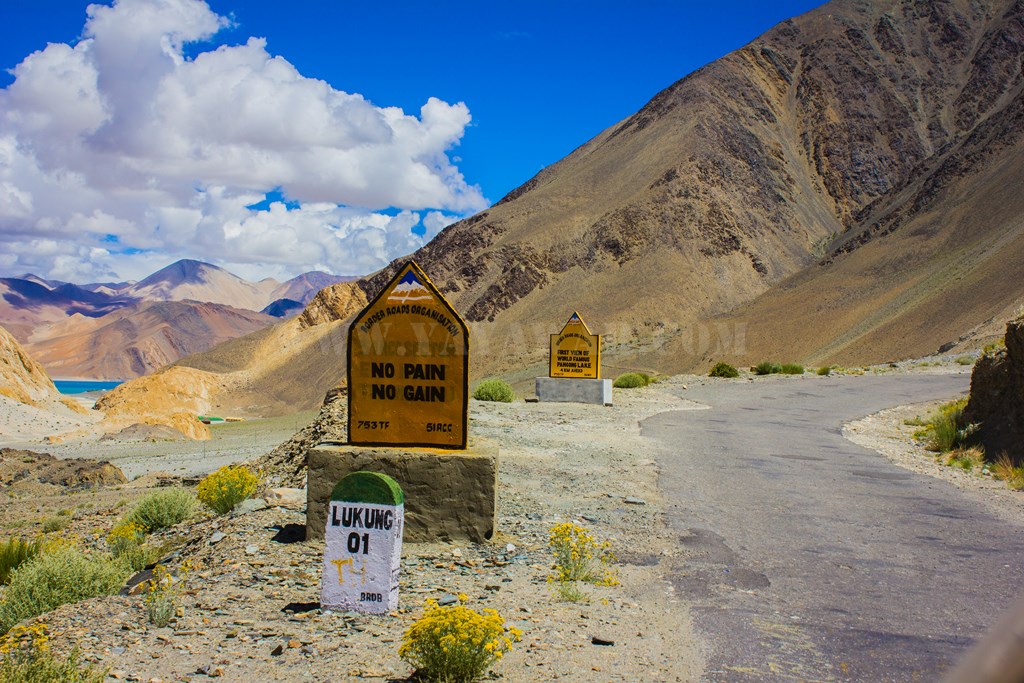
And just ahead, another signage announces the very first view of Pangong!

4 more kilometers to go. So we drive ahead soaking in the colours..

The sun is shining bright, after all it is just 1330 hrs!
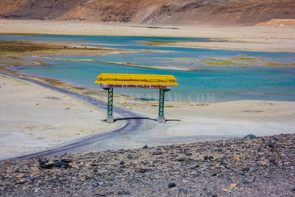
We notice a gate kind of structure in distance. The right side is fenced and a red board reads that the area is landmine prone!
Then we see that the gate is towards Phobrang – the road that leads to Marsimik La. Unfortunately we don’t have a 4×4 vehicle, so Marsimik La would have to wait. Some other time perhaps…
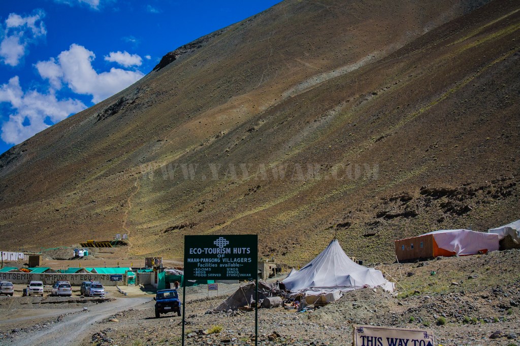
And we approach the army settlement at Lukung. I had read that the best food at Pangong is available only at the army canteen. We hadn’t eaten anything since morning, except for the maggi at Khalsar and it’s good time to indulge in some pet-pooja. So we park our vehicle and take a look around…

Distances to some of the easily reachable destinations are marked. Someday I hope to hop on my beast and reach them 🙂


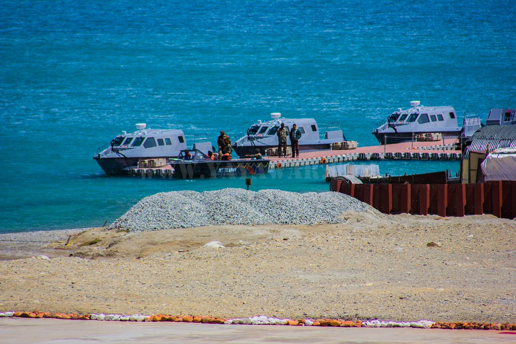
A look around and we also notice a Helipad and a jetty. Probably for patrol boats. But then we also notice civilians taking a ride! Contacts! Everything is possible!!
When you have a first look at Pangong, you’d not imagine of it’s expanse. For the first time, we also look at the expanse and colour of Pangong Tso and we are awed!

And we forgot, we were hungry! So we use the toilets for pee-break, wash our hands and face and enter the canteen.
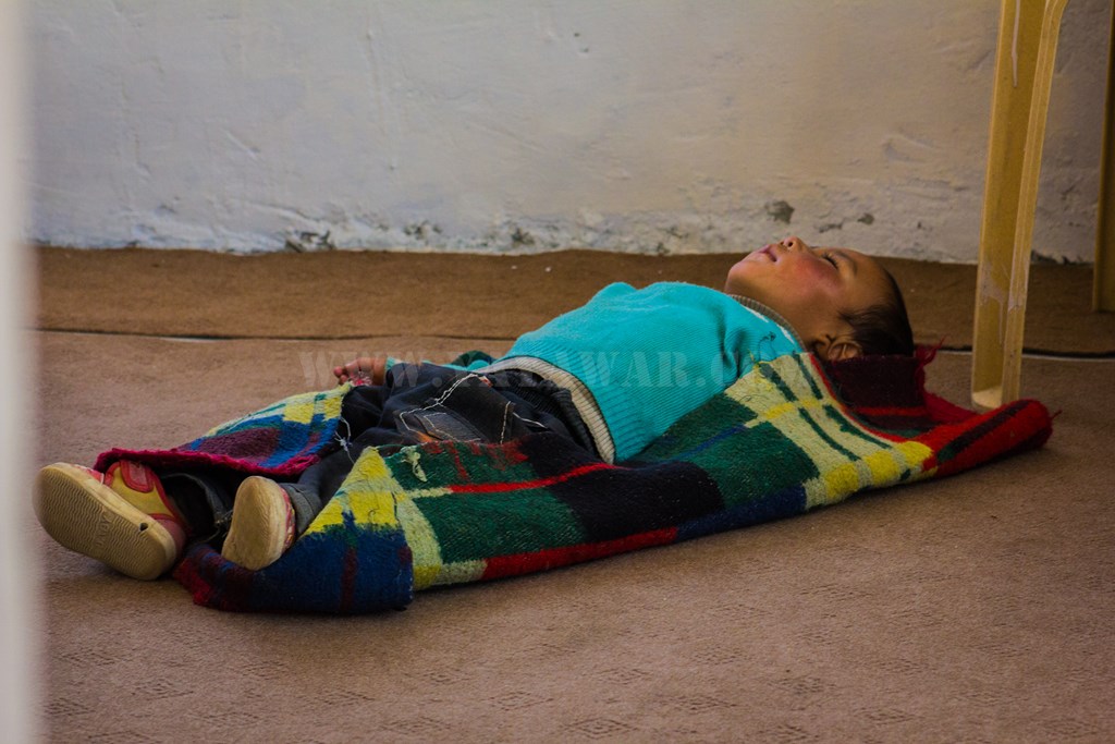
While sitting, I do not fail to notice a kid sleeping blissfully completely oblivious of the surroundings.
Egg Biryani it is! Accompanied with salad and ample raita. The taste is good and we eat like beggers! Still hungry, we also order some maggi to stuff.

Stomach stuffed, it’s time now to search for accommodation. We had decided that we would stay at Man or Merak village. While hopping on the car, I inspect it for any visible damage that could be a cause of any issue. I notice that two screws of the carrier which fastened it to the sides are missing. I inform this to Cheena, however, he says that these screws aren’t what is holding the carrier in place and it’s nothing to be worried about – it won’t cause any issues.
Satisfied, we drive ahead… The time reads 1410 hrs.
Next: Lukung to Merak and the Pangong!
CONTD…
Total Distance covered: Approx 35 kms
Driving Directions from Tangtse to Lukung: Drive ahead from the Tangtse checkpost barrier to cross the rivulet and take the right fork and then the left fork to go towards Lukung and Pangong Tso. The later right fork goes towards Chusul via Erath. Keep on driving to pass by Muglib and shortly arrive at Chagar Tso to your right. Drive ahead alongside the stream and marshes to arrive to the point from where Pangong is visible for the first time. Drive further and where the road splits, take the right fork (although the left fork seems more logical) to go towards Lukung. The left fork goes towards Phobrang and further Marsimik La. Couple of meters ahead, arrive at the army camp and canteen.

