Day 10: 18 August 2013: Part 4: Lukung to Spangmik alongside Pangong!
After having some sumptuous biryani, we move ahead towards the destination of the day – Man or Merak village. The time reads 1410 hrs.
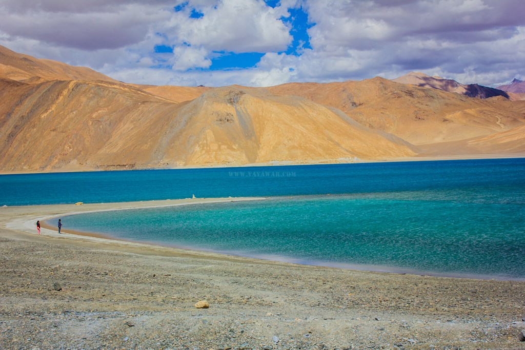
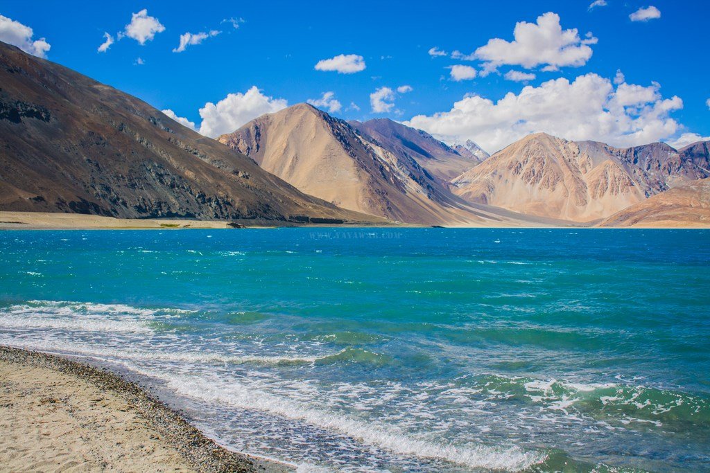
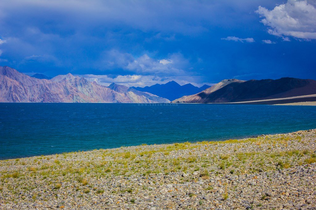
The vastness…

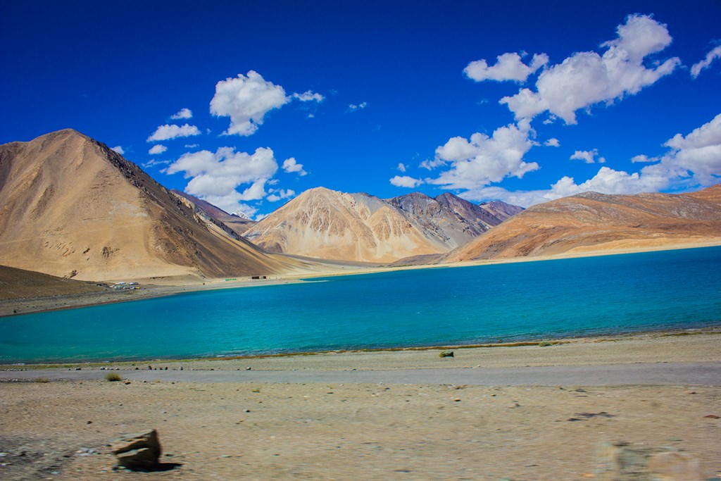


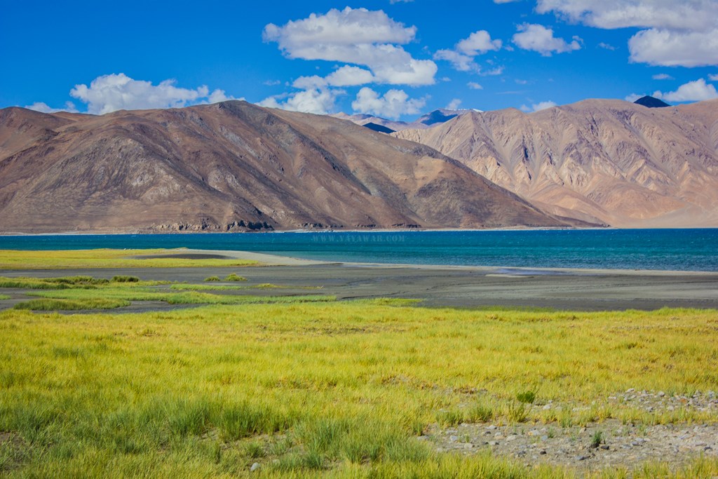
And we soak in the colours of the magnificent Pangong.


We see tracks going towards the Pangong and we descend down, however, it’s tricky. There is no road, just tracks over big rocks and pebbles. Me and Tony get down and walk while Cheena drives it.


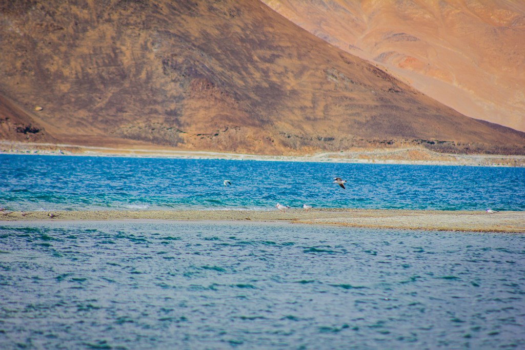
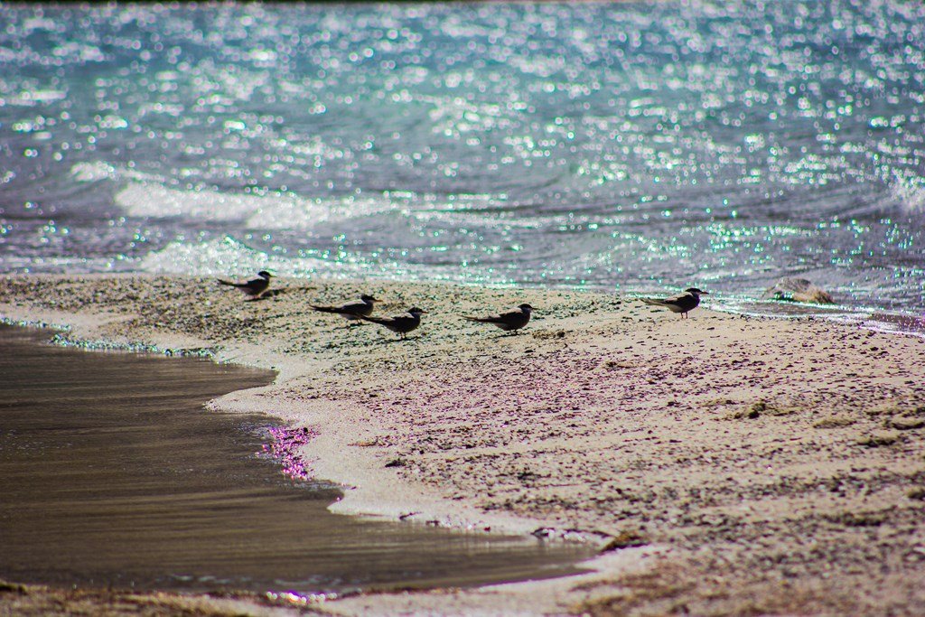
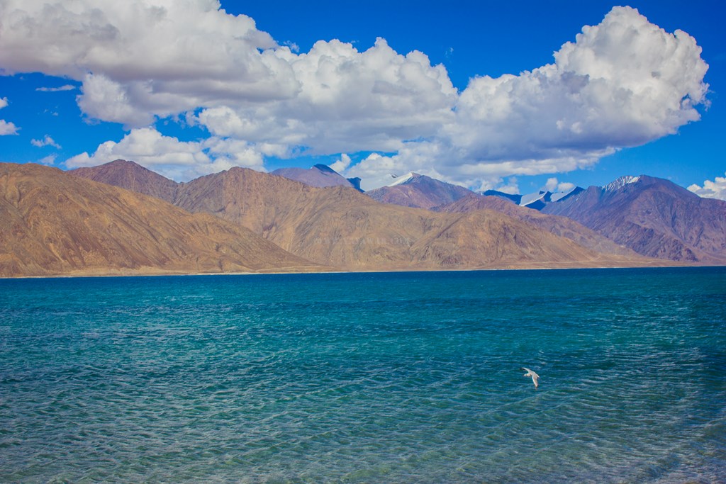
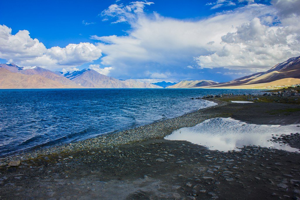
.. And enjoy the vast Pangong, shooting birds (with Camera of course!)…

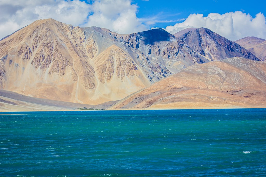
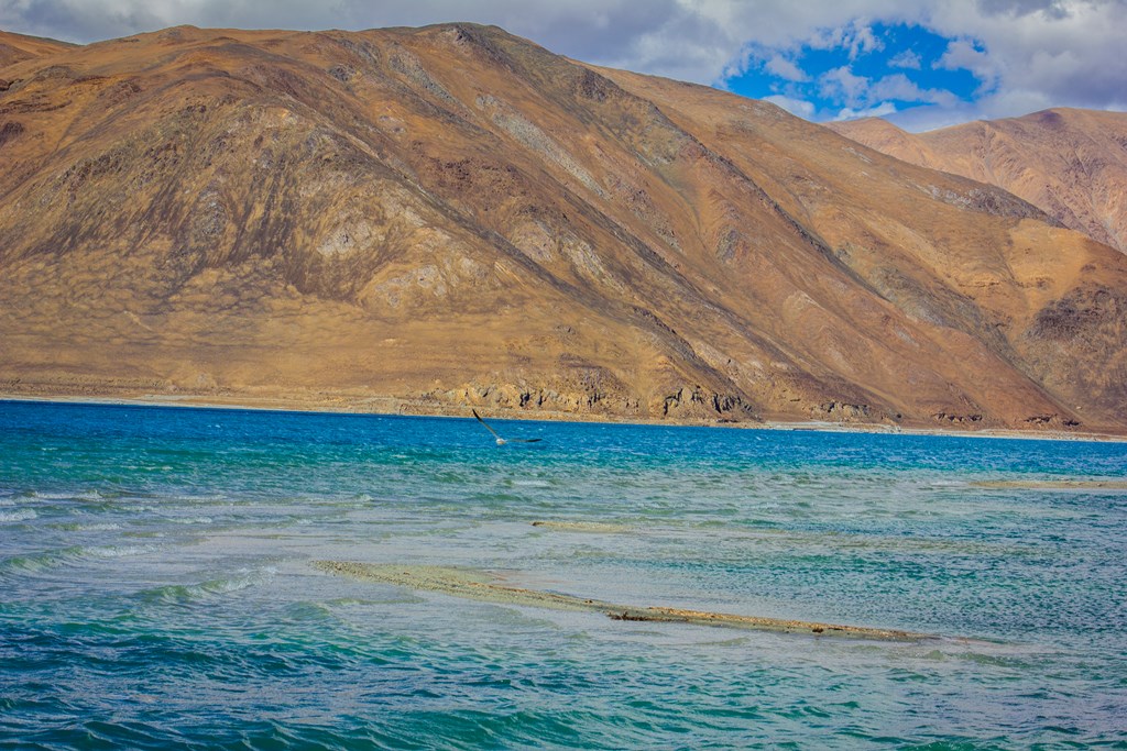
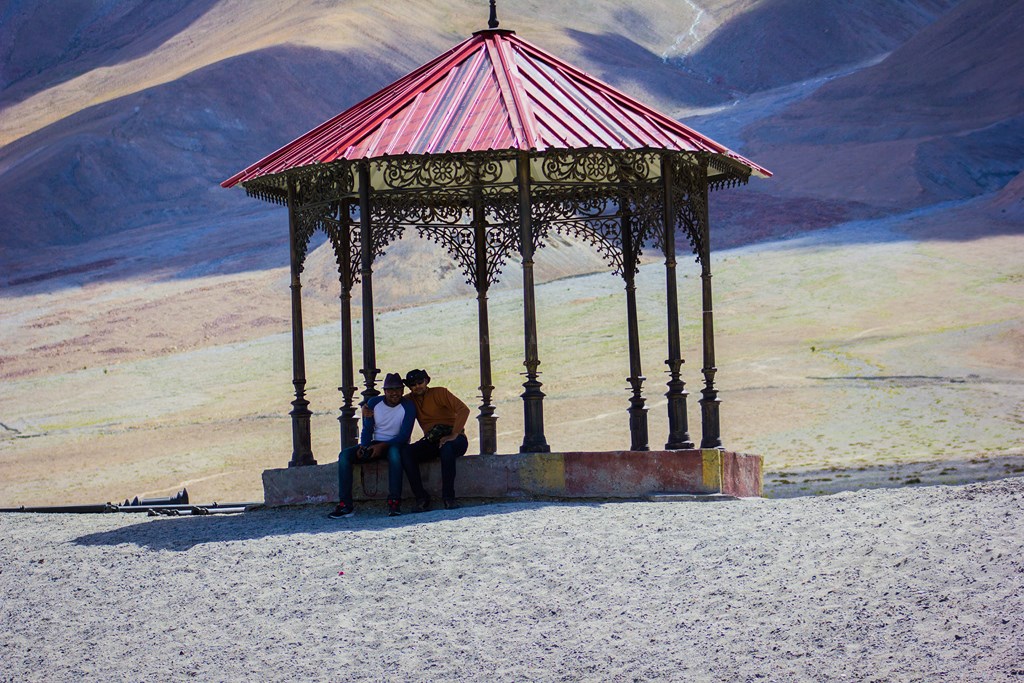
A little ahead, we saw some structures that are so out of the place that they look like a sore in the eyes. Seems like some huts have been built for viewing purposes. Couple of cars are also parked and an arc of land is going inside the Pangong. Perhaps this is the place where 3 idiots was filmed?
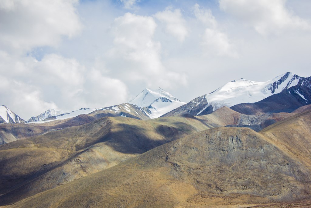
The peaks on the other side are ice capped


Once we reach the structures, we see couple of vehicles going to kiss the Pangong. Tempted! But better sense prevails and I ask Cheena not to try the stunt as the ground is breaking and we have a 2 wheel drive vehicle. Getting stuck would mean lots of issues. So we walk on the arc.
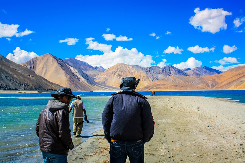
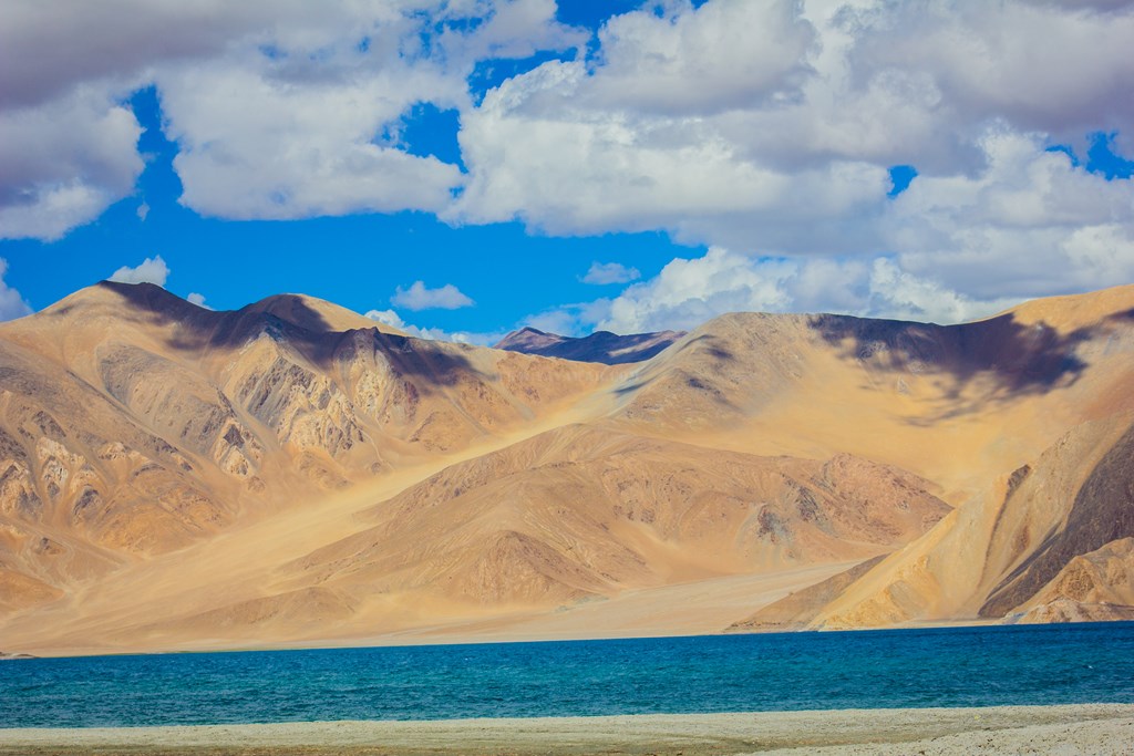
..and sleep..


..and jump..


..enjoy the Pangong view…

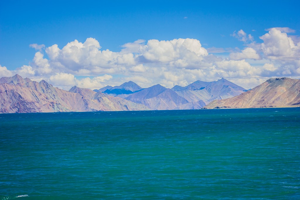

..click some birds..

..take a look back..

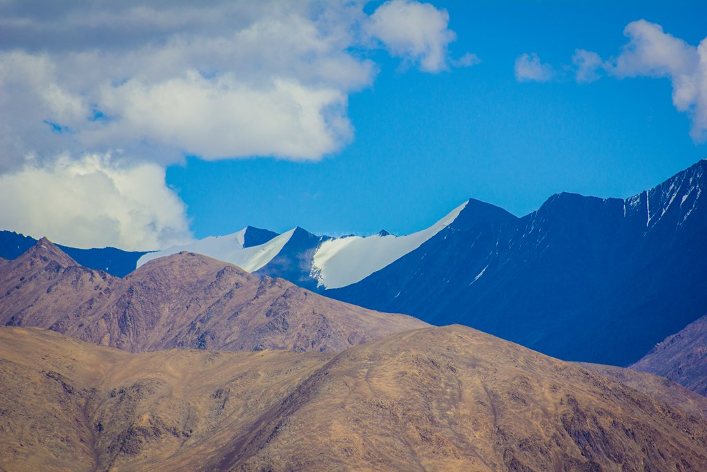
..sit and relax..

..splash some water..

.. take a stroll…

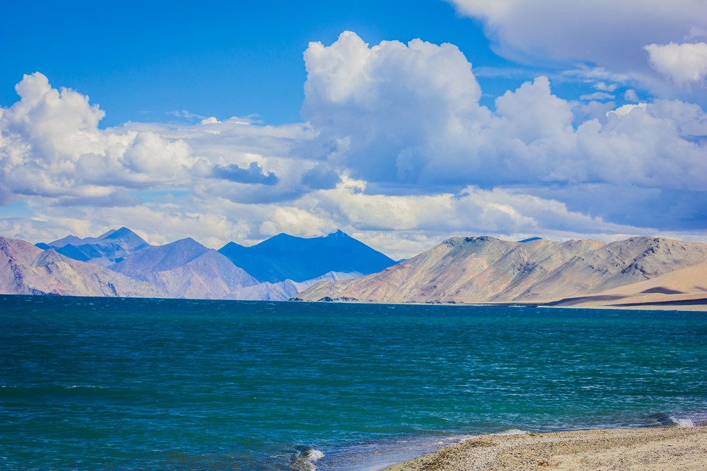



.. and strike some pose 🙂 ..

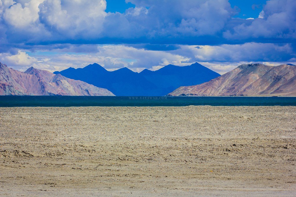
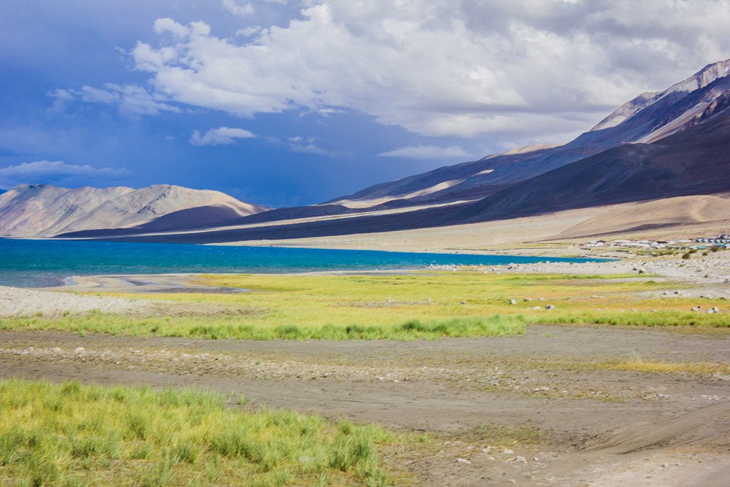
On return, We ask Cheena to drive the vehicle and reach the road where we would also reach on foot – must be hardly a kilometer walk. However, what I notice when Cheena drives away is road going further away from us and the nearest logical point it seems would be the next settlement that is there on the horizon. Me and Tony walk.. there is no option now.. the phone network is unavailable and we can’t shout loud enough for Cheena to hear. It’s a tough walk with some gradient. Mind it! We are already at an altitude of 4500+ meters and the walk doesn’t seems to end. I get fatigued, but there is no other way. We’ll have to walk. We walk till what seems eternity. The ground is loose sandy with pebbles and the walk isn’t too easy either. We cross a couple of small streams too. But the Pangong is beautiful!
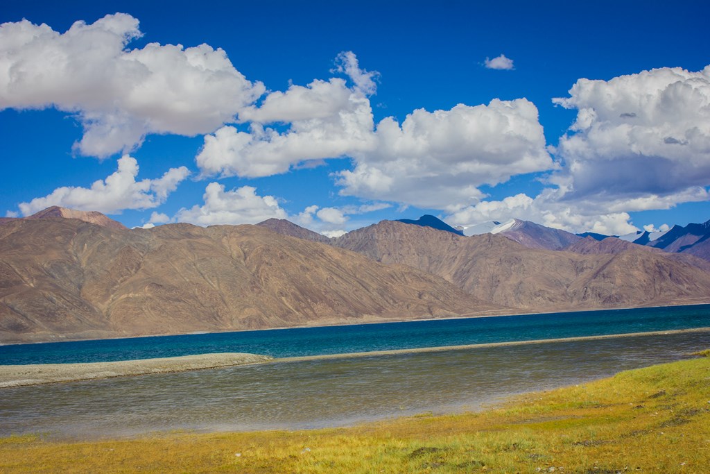



We reach the village and I sit at the nearest opportunity available. It’s Spangmik! Cheena and the vehicle are nowhere to be seen. Tony says that he’ll walk further to see where they’ve gone. But this is the first logical meeting point and they should have waited. Could it be that they’ve not even reached? I tell Tony that I’ll not be able to walk any further and will wait here itself. A severe headache has developed. Am thirsty too.So Tony goes ahead. I click at random in the meanwhile. Man and Merak for stay.. I don’t have any energy left now. Let’s just stay here.

Couple of minutes over, the vehicle comes from the direction Tony went to. We all embark. Cheena had already talked to someone who would allow us to pitch our own tents for 150 Rupees. We go there and check. The wind is too fierce today and it doesn’t seems at all that our tents would withstand the beating. Plus, we’re not inclined towards any further physical activity, at least not me. We seek the tented accommodation, settle on the tents and I just hit the bed. It’s about 1715 hrs and the headache is unbearable. It took almost 2 hours walk to reach the place.

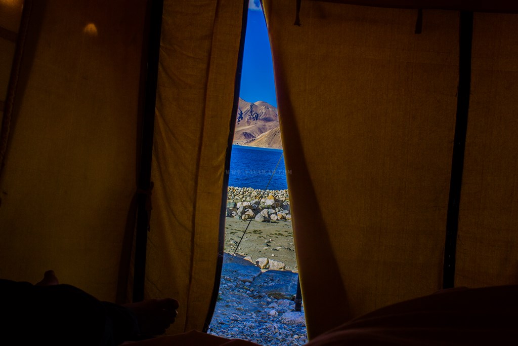

At around 1730, Avi tries to wake me up for lunch. But I’m not in a position. I tell him that I want to rest. Perhaps some sleep will ease out the headache as is always the case with me. They’re planning to explore the Pangong-shore after lunch. No issues, I need to recover first, otherwise, if it is AMS, then we all will have to go back. Around 1830, they go to explore the Pangong shore while I come out briefly and then go again to sleep.

Quite tired and conscious of not to let AMS hit me, I sleep. While Cheena, Avi and Tony explore the Pangong shore and click some shots.
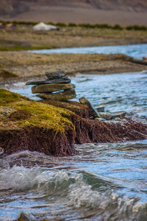

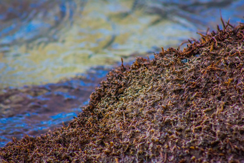
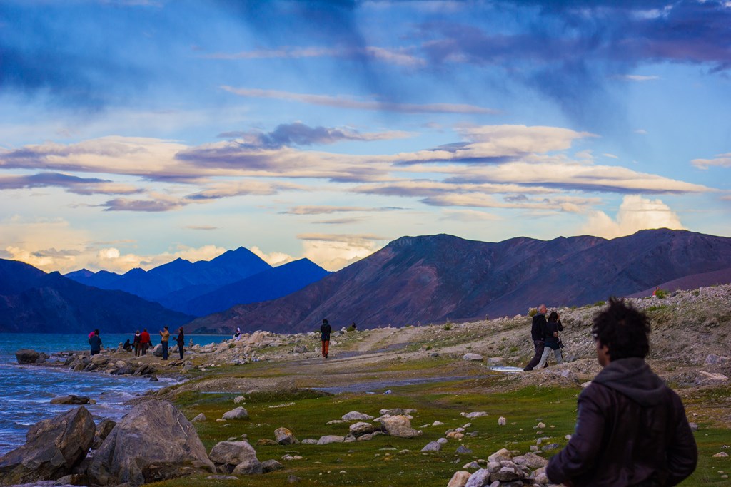
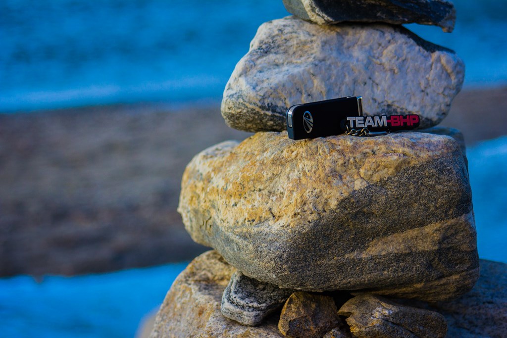
One for Team-BHP too
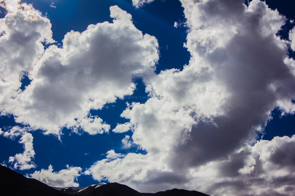
… And some gold in the sky…


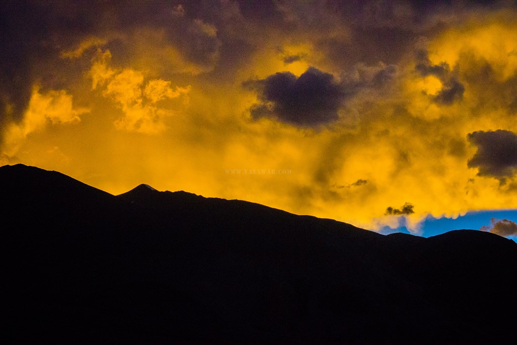
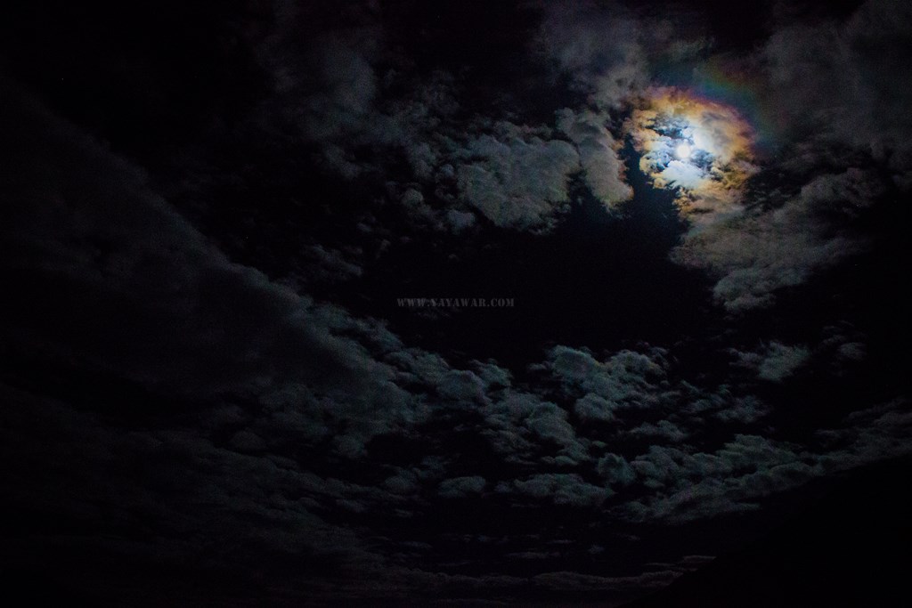
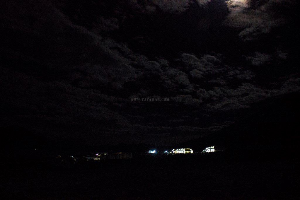
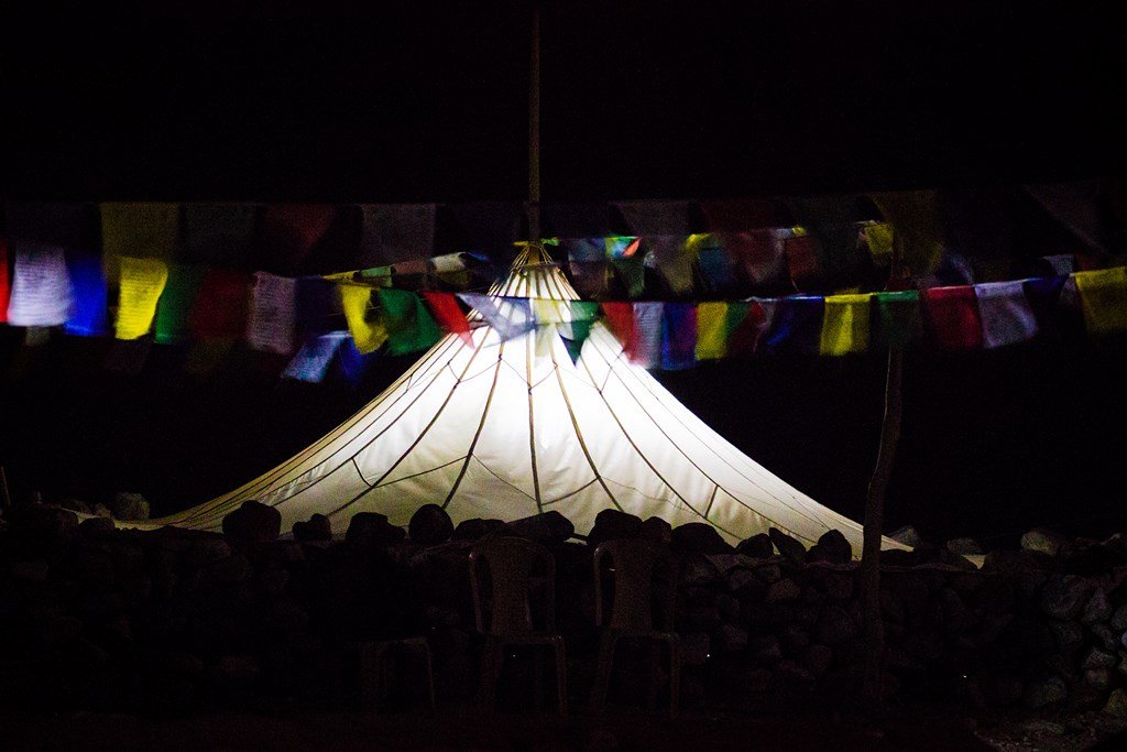
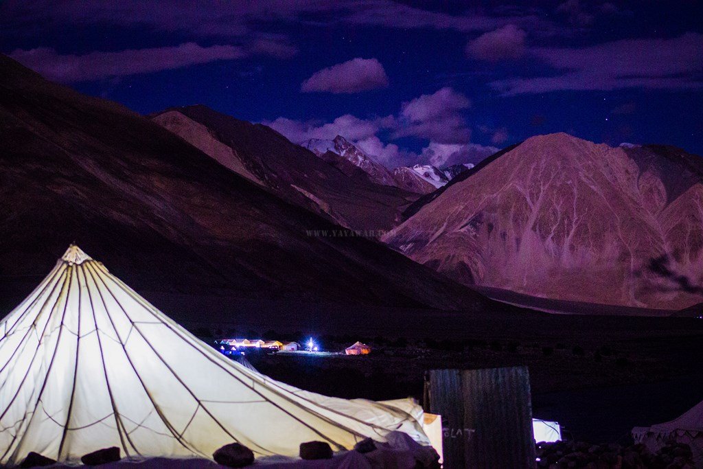
I wake up when it is all dark and Avi calls me for the dinner. It’s almost 2100 hrs and my headache also seems to have gone. So we have dinner. Post dinner, we try some night photography. This is the only time in the entire trip that we take out the tripod and use it!


Finally, we hit the bed again around 2200 hrs!
Next: The Pangong Tso in it’s full glory!
CONTD…
Total Distance covered: Approx 4.5 kms + 0.5 kms + 5.2 Kms + 200 mtrs = Total 10.4 Kms
Driving Directions from Lukung to Spangmik: Drive ahead from the Lukung army canteen and follow the road (at times tracks) to reach Spangmik
Route actually followed: Driving ahead from the Lukung army canteen, drive ahead for 4.5 kms and take the tracks going downwards towards the huts. We walked for about 0.5 kms. The car went back to the road and drove ahead, while we walked along the Pangong shore for approx 5 kms where we met the car again and drove 200 meters ahead to reach Padma camp at Spangmik.


Neeraj Sir Thoda fit ho jaiye it was hardly 2 kms and it was fun walking along pangong :p
Sir! It indeed was 4-5 kms, I verified it with Google Maps as well (check this –> https://www.google.co.in/maps/dir/33.90927,78.4611303/33.9333573,78.4520436/@33.9157658,78.4416257,6443m/data=!3m1!1e3!4m4!4m3!1m0!1m0!3e2 ). And remember, you were panting and cursing too! 😀
Beautiful photos. We were plnniang to go on August 22nd as it was going to be the last trip before the winter sets in, but due to some reasons we had to cancel our plan. I feel so bad missing it this year, maybe next year. Would have loved more details from a seasoned traveller like you. More than the Buddhist sites, I am interested in beauty of the nature rare to be found anywhere else in the world.
Thanks Raquel for stopping by and appreciating. Sad to know about cancellation of your plan, bu then there is always the another day. I too am planning a trip next year. Let’s just hope that it materializes. As you’d see from my logs, I too am not too interested in monastries etc and more into the nature.
I’ve tried to provide as much information as possible. However, if there is anything specific, do write me using the Contact page